Charleswood, Winnipeg
Map
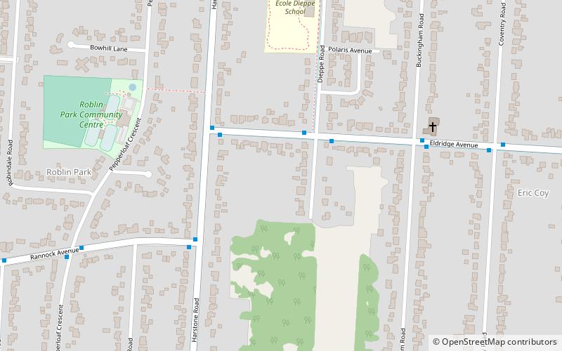
Map

Facts and practical information
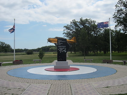
Charleswood is a semi-rural residential community and neighbourhood in the southwest corner of Winnipeg, Manitoba, Canada. Since at least the 1930s, Charleswood has been known as "The Suburb Beautiful." It composes part of the city ward of Charleswood - Tuxedo - Westwood; and is part of the provincial electoral district of Roblin. It is also served by the Pembina Trails School Division. ()
Coordinates: 49°51'9"N, 97°17'3"W
Address
Assiniboine South (Eric Coy)Winnipeg
ContactAdd
Social media
Add
Day trips
Charleswood – popular in the area (distance from the attraction)
Nearby attractions include: Air Force Heritage Museum and Air Park, Outlet Collection Winnipeg, Bruce Park, Assiniboine Park Zoo.
Frequently Asked Questions (FAQ)
How to get to Charleswood by public transport?
The nearest stations to Charleswood:
Bus
Bus
- Westbound Eldridge at Dieppe • Lines: 98 (2 min walk)
- Eastbound Eldridge at Harstone • Lines: 98 (3 min walk)

