Single-point urban interchange, Edmonton

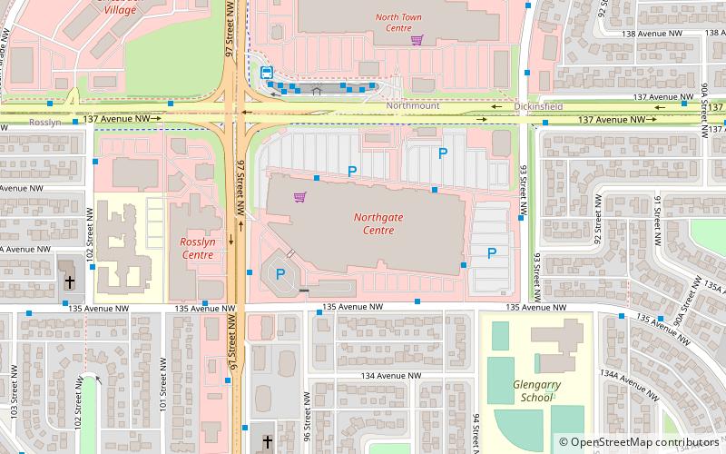
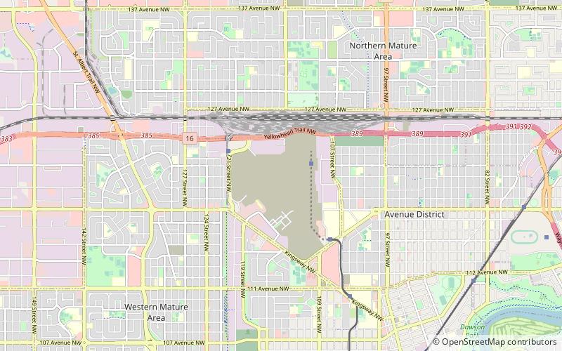
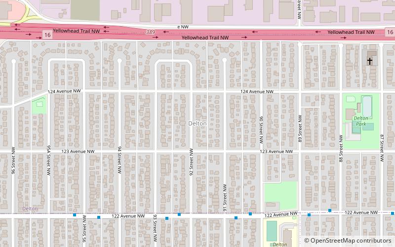
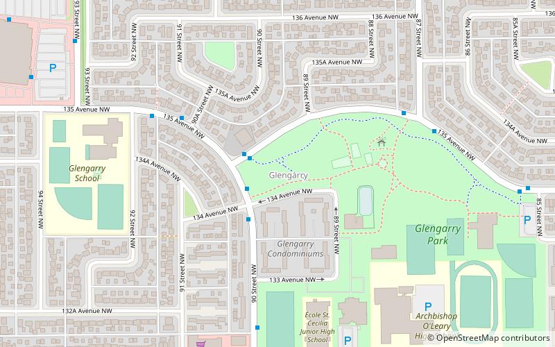
Map
Facts and practical information
A single-point urban interchange, also called a single-point interchange or single-point diamond interchange, is a type of highway interchange. The design was created in order to help move large volumes of traffic through limited amounts of space safely and efficiently. ()
Address
North Central Edmonton (Delton)Edmonton
ContactAdd
Social media
Add
Getting there by public transportation
Public transportation stops near this location
- Bus
- Light rail
 Bus
Bus
- Calculate route95 Street & 118 Ave 21 min walk
- Calculate route93 Street & 118 Ave 22 min walk
- Calculate route90 Street & 118 Ave 24 min walk
- Calculate routeNait 31 min walk
Day trips


Frequently Asked Questions (FAQ)
Which popular attractions are close to Single-point urban interchange?
Nearby attractions include Delton, Edmonton (11 min walk), Westwood, Edmonton (12 min walk), Killarney, Edmonton (18 min walk), Lauderdale, Edmonton (18 min walk).
How to get to Single-point urban interchange by public transport?
The nearest stations to Single-point urban interchange:
Bus
Light rail
Bus
- 95 Street & 118 Ave • Lines: 5 (21 min walk)
- 93 Street & 118 Ave • Lines: 5 (22 min walk)
Light rail
- Nait • Lines: 502 (31 min walk)