Achada Leitão, Santiago
#54 among attractions in Santiago
Facts and practical information
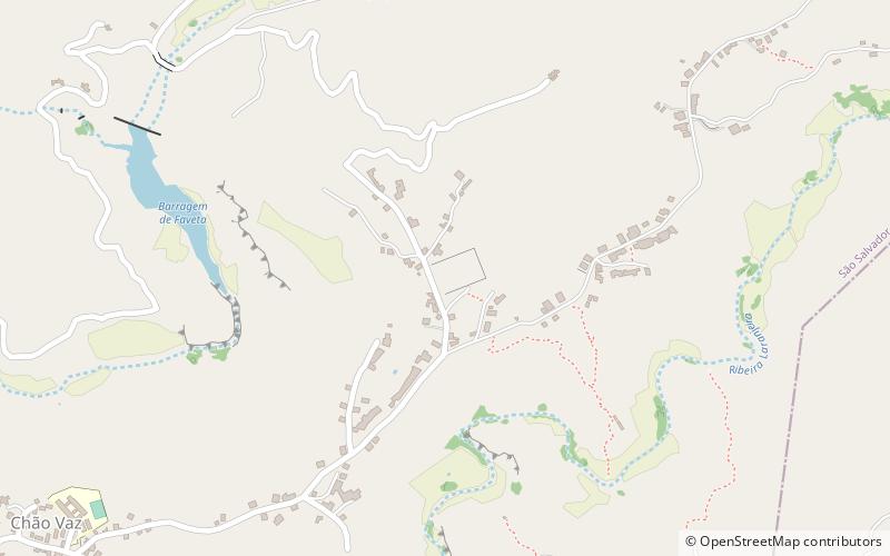
Achada Leitão is a settlement in the central part of the island of Santiago, Cape Verde. It is part of the municipality São Salvador do Mundo. It is situated 3 km northeast of Picos. ()
Santiago Cape Verde
Achada Leitão – popular in the area (distance from the attraction)
Nearby attractions include: Monte Tchota, Jardim Botanico, Barragem de Poilão, Pico da Antónia.
 Mountain
Monte Tchota, Santiago
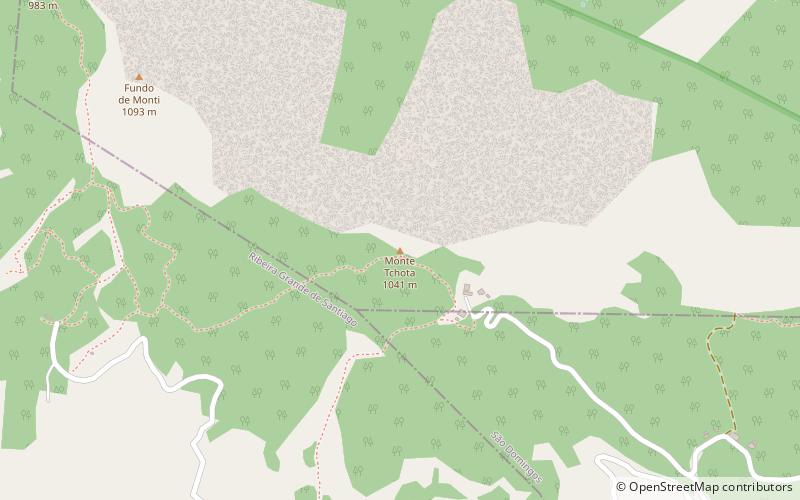
105 min walk • Monte Tchota is a mountain located in the central part of Santiago Island in Cape Verde. Its elevation is 1,041 m. It is part of the Serra do Pico de Antónia Natural Park, and lies 1.5 km southeast of Pico de Antónia, the highest point of the island.
 Botanical garden
Jardim Botanico, Santiago
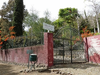
89 min walk • The Jardim Botânico Nacional Grandvaux Barbosa is the only botanical garden in Cape Verde. The garden is located in São Jorge, in the middle of the island Santiago. Its collection focuses on endemic and native plants of Cape Verde.
 Nature, Natural attraction, Lake
Barragem de Poilão, Santiago
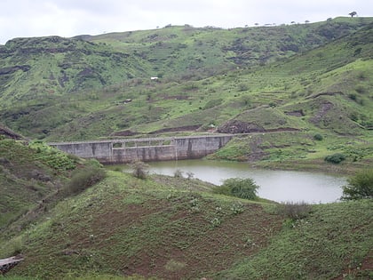
112 min walk • Barragem de Poilão is a dam located in the eastern part of the island of Santiago, Cape Verde, in the municipality of São Lourenço dos Órgãos. It impounds the stream Ribeira Seca, the island's largest river. the reservoir, used for irrigation, stretches between the villages Poilão and Levada.
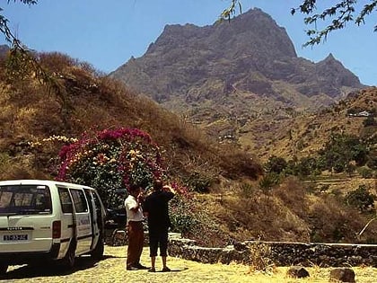 Santiago's tallest mountain
Pico da Antónia, Santiago
91 min walk • Pico de Antónia is a mountain located in the central part of the island of Santiago in Cape Verde. At 1,392 m, it is the highest point of the island. The mountain is part of the protected area Parque Natural da Serra do Pico de Antónia. The towns Picos and Assomada lie close to the mountain.
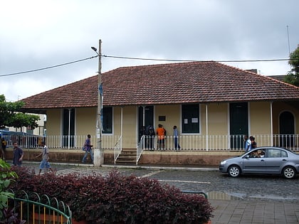 Museum
Museu da Tabanka, Santiago
142 min walk • The Museu da Tabanca is a museum in the town Chã de Tanque in the western part of the island of Santiago in Cape Verde. It is dedicated to local culture, including tabanka music.
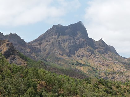 Nature, Natural attraction, Mountain
Serra do Pico da Antónia Important Bird Area, Santiago
99 min walk • The Serra do Pico de Antónia is a mountain range in the centre of the island of Santiago in the Cape Verde archipelago. It contains the Pico de Antónia, at 1,392 m the highest point of the island. It is protected as a natural park, covering 28.73 km2.
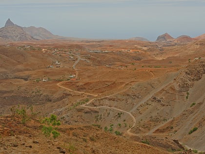 Village
Fundura, Santiago
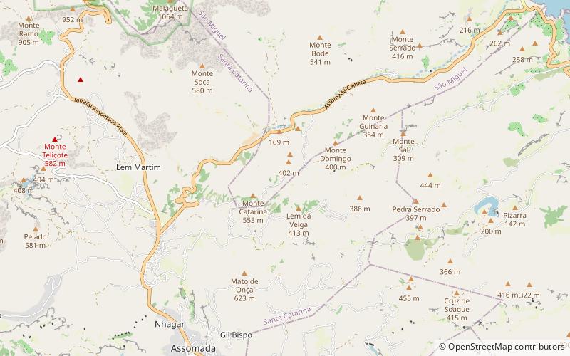
183 min walk • Fundura is a village in the northwestern part of the island of Santiago, Cape Verde. It is part of the municipality of Santa Catarina. In 2010 its population was 1,070. It is located about 8 km north of Assomada, on the road to Tarrafal.
 Village
Saltos Acima, Santiago
87 min walk • Saltos Acima is a village in the northcentral part of the island of Santiago, Cape Verde. It is part of the municipality of Santa Catarina. In 2010 its population was 657. It is situated 5 km northeast of Assomada. To the north it borders on the settlement Pedra Serrado, which is in the municipality of São Miguel.
 Locality
Assomada
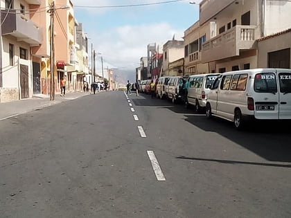
84 min walk • Assomada is a city on the Sotavento island of Santiago in Cape Verde. Since 1912, it is the seat of the municipality of Santa Catarina, which comprises the central western part and much of the interior of the island. It is the largest city in that region.
 Sport, Arenas and stadiums, Sport venue
Estádio de Cumbém, Santiago
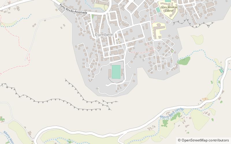
86 min walk • Estádio de Cumbém, also as Estádio Municipal de Cumbém is a multi-purpose stadium in the city of Assomada, seat of the municipality of Santa Catarina in the Santiago, Cape Verde and is located in the suburb of Cumbém located south of the centre, accessed with Avenida 15 de Dezembro.