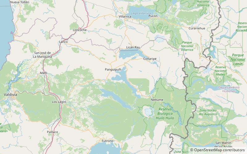
Panguipulli Lake
Map

Map

Facts and practical information
The Panguipulli Lake is one of the "Seven Lakes" in Panguipulli municipality, southern Chile. The lake is of glacial origin and it is enclosed by mountain ranges of the Andes, on all sides except the west, where the town of Panguipulli lies in the Chilean Central Valley. The lake is drained by the Enco River that flows south to Riñihue Lake. ()
Local name: Lago Panguipulli Area: 44.79 mi²Length: 18.5 miWidth: 9.2 miElevation: 430 ft a.s.l.Coordinates: 39°41'39"S, 72°14'30"W
Location
Araucanía
ContactAdd
Social media
Add
Day trips
Panguipulli Lake – popular in the area (distance from the attraction)
Nearby attractions include: Panguipulli.

