Cheung Tsing Highway, Hong Kong

Gallery (1)
Map
Map
Facts and practical information
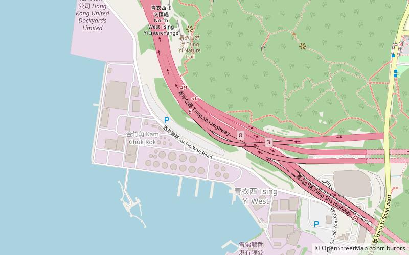
Cheung Tsing Highway is a highway of Route 3 between Cheung Tsing Tunnel and North West Tsing Yi Interchange on Tsing Yi Island, New Territories, Hong Kong. It was built as part of the Airport Core Programme together with the rest of Route 3 to provide a new highway link from North Western New Territories towards Hong Kong Island, and connects with Route 8 to provide access to the new Hong Kong International Airport. ()
Address
葵青区 (青衣)Hong Kong
ContactAdd
Social media
Add
Getting there by public transportation
Public transportation stops near this location
- Metro
- Bus
 Metro
Metro
- Calculate routeChing Wah Court 14 min walk
- Calculate routeCheung Hong 17 min walk
- Calculate routeCheung Hong Estate 19 min walk
- Calculate routeTsing Yi 38 min walk
Maps MTRMaps
 LTRMaps
 Tram
Tram
MTRMapsLTRMapsTramDay trips


Frequently Asked Questions (FAQ)
Which popular attractions are close to Cheung Tsing Highway?
Nearby attractions include Liu To Bridge, Hong Kong (18 min walk), Tsing Yi, Hong Kong (18 min walk).
How to get to Cheung Tsing Highway by public transport?
The nearest stations to Cheung Tsing Highway:
Bus
Metro
Bus
- Ching Wah Court • Lines: 140M, 308M, 68E, A32, E31, E32, N31, Na32 (14 min walk)
- Cheung Hong (17 min walk)
Metro
- Tsing Yi • Lines: Ael, Tcl (38 min walk)