Tang Lung Chau, Hong Kong

Gallery (3)
Map
Map
Gallery
Facts and practical information
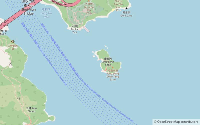
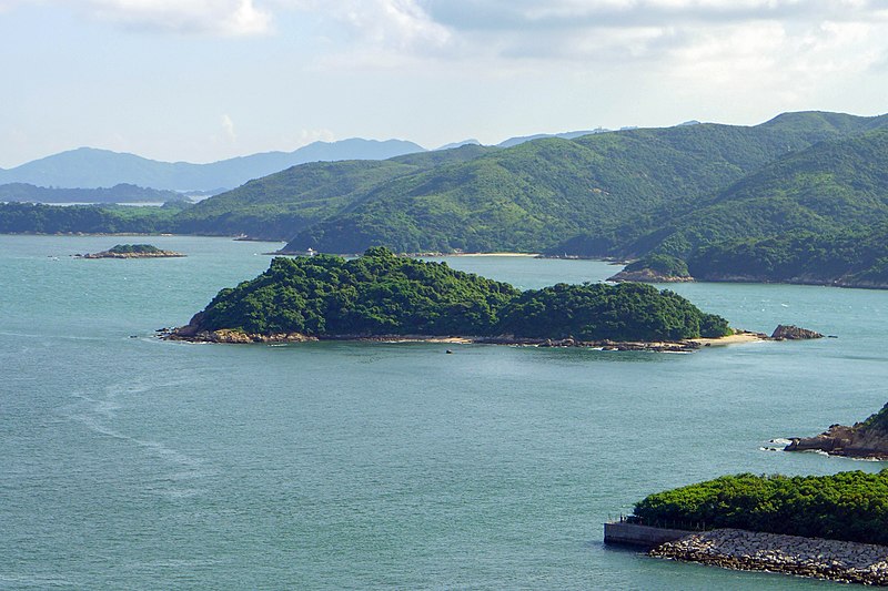
Tang Lung Chau is a small island located off the south coast of Ma Wan to the north-west of Hong Kong Island, Hong Kong. It is administratively part of Tsuen Wan District. ()
Address
Hong Kong
ContactAdd
Social media
Add
Getting there by public transportation
Public transportation stops near this location
- Bus
- Ferry
 Bus
Bus
- Calculate routeMa Wan 14 min walk
- Calculate routePark Island 24 min walk
- Calculate routePark Island Pier 24 min walk
Maps MTRMaps
 LTRMaps
 Tram
Tram
MTRMapsLTRMapsTramDay trips


Frequently Asked Questions (FAQ)
Which popular attractions are close to Tang Lung Chau?
Nearby attractions include Ma Wan Viaduct, Hong Kong (14 min walk), Kap Shui Mun Bridge, Hong Kong (14 min walk), Noah's Ark, Hong Kong (15 min walk), Ma Wan, Hong Kong (16 min walk).
How to get to Tang Lung Chau by public transport?
The nearest stations to Tang Lung Chau:
Bus
Ferry
Bus
- Ma Wan (14 min walk)
- Park Island (24 min walk)
Ferry
- Park Island Pier • Lines: Park Island - Central (24 min walk)