Che Lei Pai, Hong Kong
Map
Map

Facts and practical information
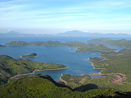
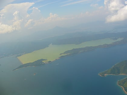
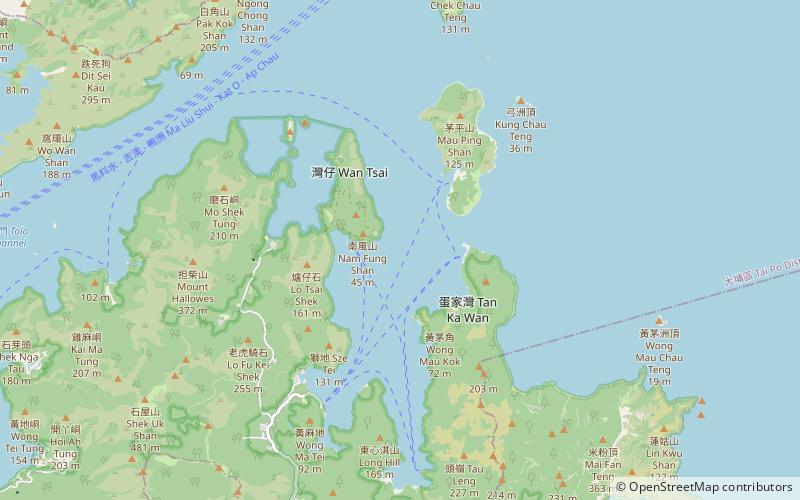
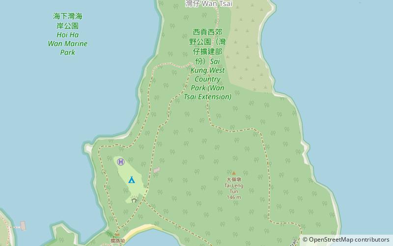
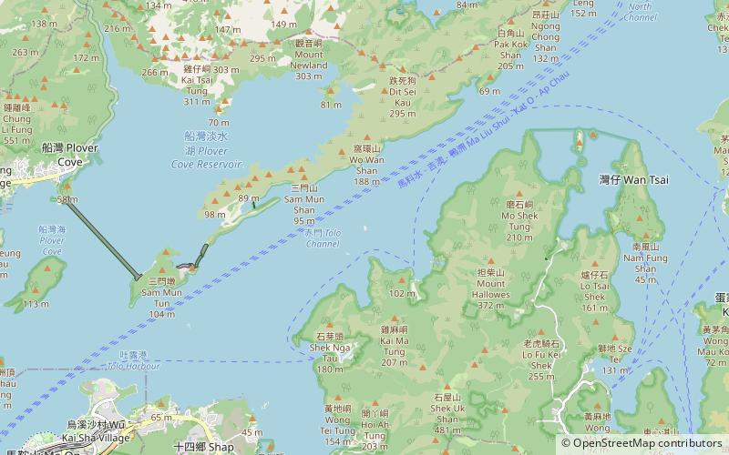
Che Lei Pai is an islet in Tolo Channel in the northeastern New Territories of Hong Kong. The island is north of Pak Kok Chai and south of Fu Tau Sha. It is under the administration of the Tai Po District. ()
Address
Hong Kong
ContactAdd
Social media
Add
Day trips
Che Lei Pai – popular in the area (distance from the attraction)
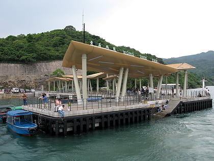
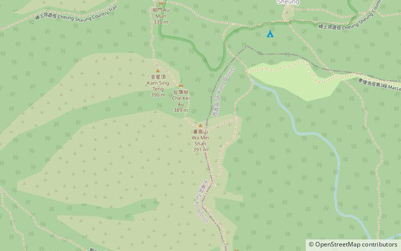
Nearby attractions include: Kei Ling Ha, Wong Shek, Tiu Tang Lung, Wa Mei Shan.
Frequently Asked Questions (FAQ)
How to get to Che Lei Pai by public transport?
The nearest stations to Che Lei Pai:
Ferry
Ferry
- Lai Chi Chong Pier • Lines: 塔門→馬料水 Tap Mun→Ma Liu Shu, 馬料水→塔門 Ma Liu Shu→Tap Mun, 馬料水→黃石 Ma Liu Shu→Wong Shek, 黃石→馬料水 Wong Shek→Ma Liu Shu (20 min walk)

 MTR
MTR LTR
LTR Tram
Tram
