Sai Kung West Country Park, Hong Kong
Map
Facts and practical information
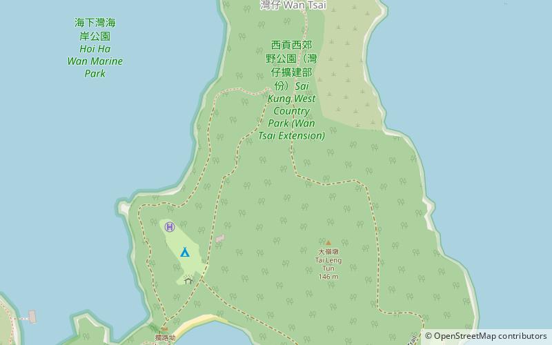
Sai Kung West Country Park is a 1.23 square kilometres country park on the Sai Kung Peninsula in northeast Hong Kong. Opened in 1996 the park's sights include: ()
Address
Hong Kong
ContactAdd
Social media
Add
Getting there by public transportation
Public transportation stops near this location
- Bus
- Ferry
 Bus
Bus
- Calculate routeWan ChaiPier 11 min walk
- Calculate routeTap Mun Pier 30 min walk
- Calculate routeHoi Ha 26 min walk
Maps MTRMaps
 LTRMaps
 Tram
Tram
MTRMapsLTRMapsTramDay trips


Frequently Asked Questions (FAQ)
How to get to Sai Kung West Country Park by public transport?
The nearest stations to Sai Kung West Country Park:
Ferry
Bus
Ferry
- Wan ChaiPier (11 min walk)
- Tap Mun Pier • Lines: 塔門→馬料水 Tap Mun→Ma Liu Shu, 塔門→黃石 Tap Munk→Wong She, 塔門→黃石(經高流灣) Tap Mun→Wong Shek(Vi, 馬料水→塔門 Ma Liu Shu→Tap Mun, 馬料水→黃石 Ma Liu Shu→Wong Shek, 黃石→塔門 Wong Shek→Tap Mun, 黃石→塔門(經高流灣) Tap Mun→Wong Shek(Vi, 黃石→馬料水 Wong Shek→Ma Liu Shu (30 min walk)
Bus
- Hoi Ha • Lines: 7 (26 min walk)