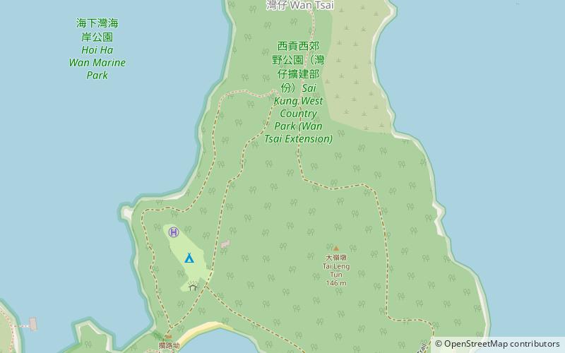
Long Harbour, Hong Kong
Map
Facts and practical information
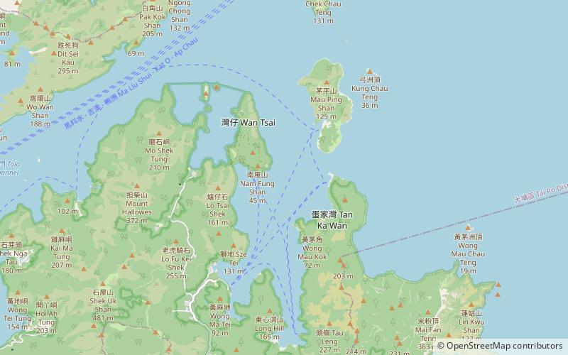
Long Harbour, also known as Tai Tan Hoi, is a natural harbour formed from an inlet of Mirs Bay to the north of Sai Kung Peninsula, Hong Kong. ()
Address
Hong Kong
ContactAdd
Social media
Add
Getting there by public transportation
Public transportation stops near this location
- Ferry
 Ferry
Ferry
- Calculate routeWan ChaiPier 14 min walk
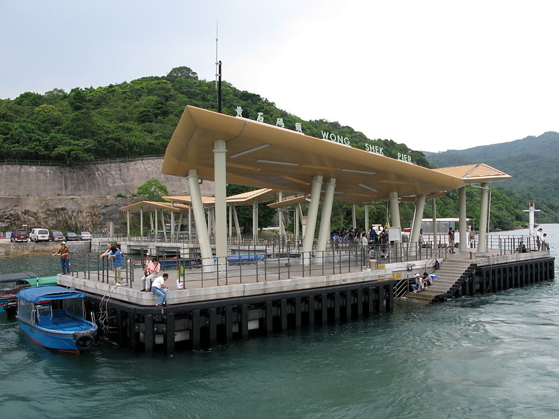
- Calculate routeKo Lau Wan Public Pier 17 min walk
- Calculate routeTap Mun Pier 24 min walk
Maps MTRMaps
 LTRMaps
 Tram
Tram
MTRMapsLTRMapsTramDay trips


Frequently Asked Questions (FAQ)
How to get to Long Harbour by public transport?
The nearest stations to Long Harbour:
Ferry
Ferry
- Wan ChaiPier (14 min walk)
- Ko Lau Wan Public Pier • Lines: 塔門→黃石(經高流灣) Tap Mun→Wong Shek(Vi, 馬料水→黃石 Ma Liu Shu→Wong Shek, 黃石→塔門(經高流灣) Tap Mun→Wong Shek(Vi, 黃石→馬料水 Wong Shek→Ma Liu Shu (17 min walk)