Hoi Ha, Hong Kong
Map
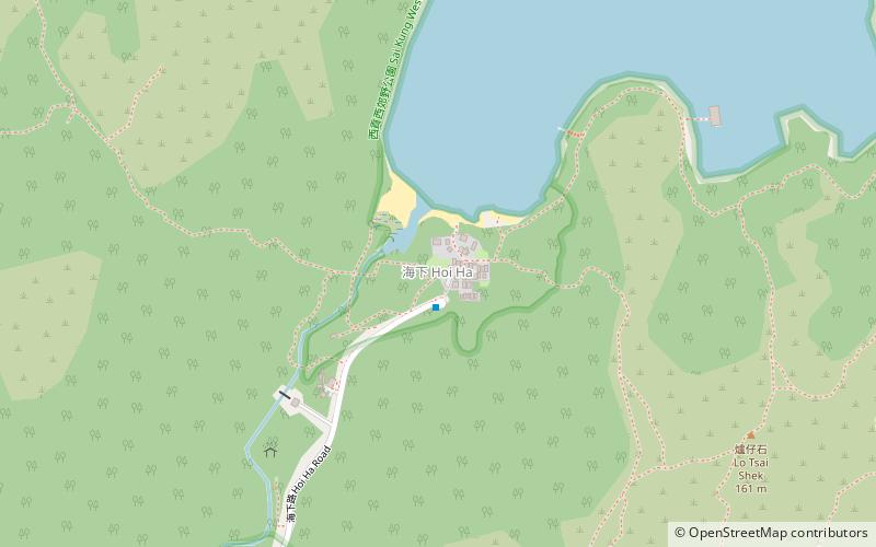
Map

Facts and practical information
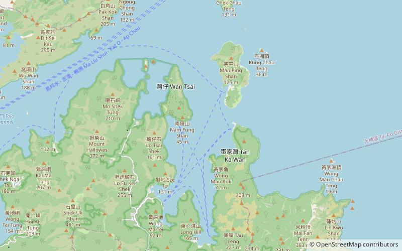
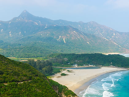
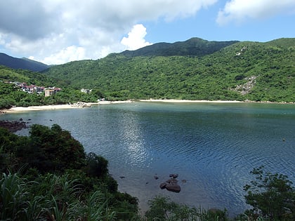
Hoi Ha is a place and a village on the innermost shore of Hoi Ha Wan, Hong Kong. It is at the north of Pak Sha O in the Sai Kung Peninsula. ()
Coordinates: 22°27'37"N, 114°19'41"E
Address
大埔区 (da bu qu)Hong Kong
ContactAdd
Social media
Add
Day trips
Hoi Ha – popular in the area (distance from the attraction)
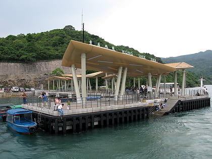
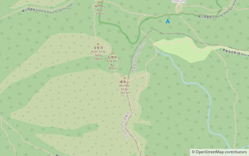
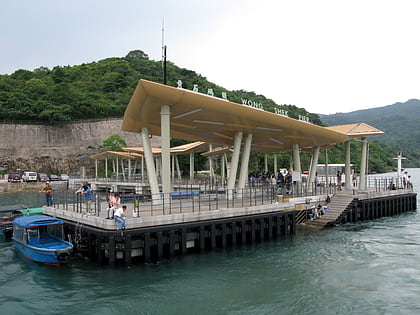
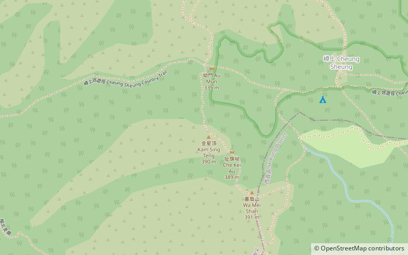
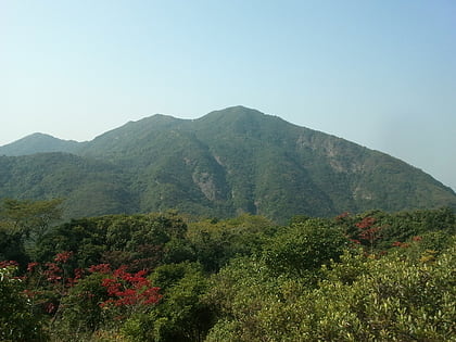
Nearby attractions include: Wong Shek, Wa Mei Shan, Wong Chuk Kok Tsui, Wong Shek Pier.
Frequently Asked Questions (FAQ)
How to get to Hoi Ha by public transport?
The nearest stations to Hoi Ha:
Bus
Ferry
Bus
- Hoi Ha • Lines: 7 (2 min walk)
Ferry
- Wan ChaiPier (23 min walk)
 MTR
MTR LTR
LTR Tram
Tram