Port of Hong Kong, Hong Kong
Map
Facts and practical information
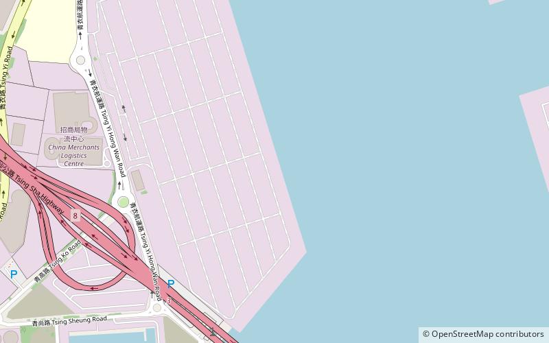
The Port of Hong Kong, located by the South China Sea, is a deepwater seaport dominated by trade in containerised manufactured products, and to a lesser extent raw materials and passengers. A key factor in the economic development of Hong Kong, the natural shelter and deep waters of Victoria Harbour provide ideal conditions for berthing and the handling of all types of vessels. It is one of the busiest ports in the world, in the three categories of shipping movements, cargo handled and passengers carried. ()
Address
Hong Kong
ContactAdd
Social media
Add
Getting there by public transportation
Public transportation stops near this location
- Metro
- Bus
 Metro
Metro
- Calculate routeChing Tao House Cheung Ching Estate 24 min walk
- Calculate routeMayfair Garden 25 min walk
- Calculate routeMayfair Gardens 25 min walk
- Calculate routeLai King 31 min walk
Maps MTRMaps
 LTRMaps
 Tram
Tram
MTRMapsLTRMapsTramDay trips


Frequently Asked Questions (FAQ)
Which popular attractions are close to Port of Hong Kong?
Nearby attractions include Stonecutters Bridge, Hong Kong (14 min walk), Nam Wan Kok, Hong Kong (20 min walk), Kwai Tsing Container Terminals, Hong Kong (20 min walk), Technological and Higher Education Institute of Hong Kong, Hong Kong (21 min walk).
How to get to Port of Hong Kong by public transport?
The nearest stations to Port of Hong Kong:
Bus
Metro
Bus
- Ching Tao House Cheung Ching Estate • Lines: A32, E32, Na32, Nr41 (24 min walk)
- Mayfair Garden (25 min walk)
Metro
- Lai King • Lines: Tcl, Twl (31 min walk)