Mo Chau, Hong Kong

Gallery (1)
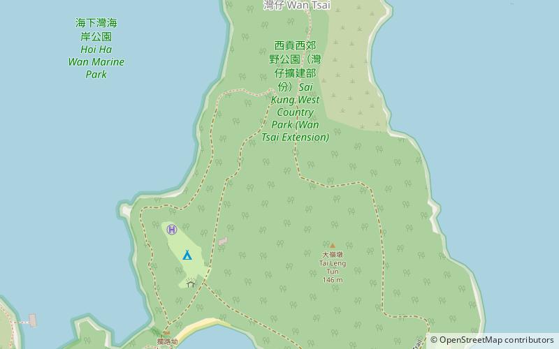
Map
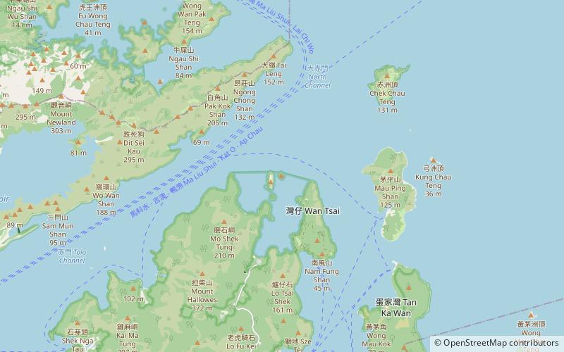
Map
Facts and practical information
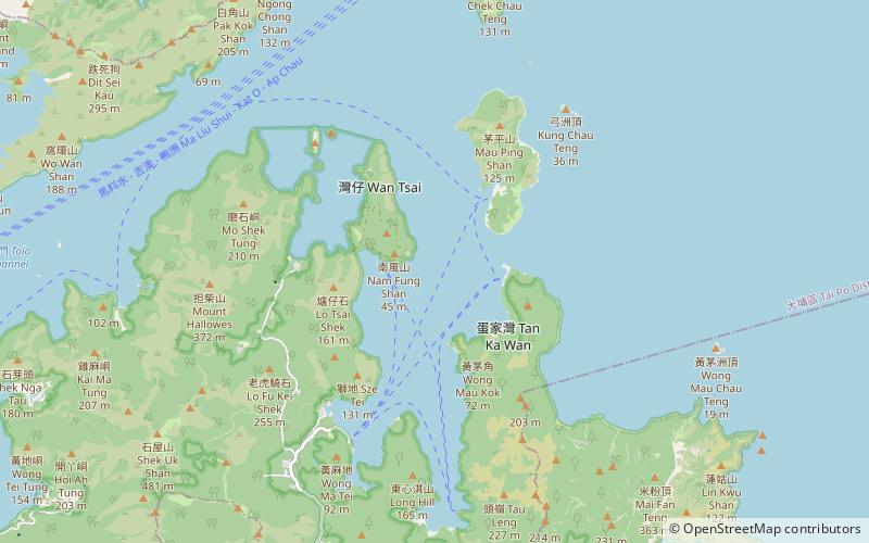
Mo Chau, or Moon Island is an island in Tolo Channel, in the Tai Po District of Hong Kong. ()
Address
Hong Kong
ContactAdd
Social media
Add
Mo Chau Public Transportation
Maps MTRMaps
 LTRMaps
 Tram
Tram
MTRMapsLTRMapsTramDay trips