Wong Chuk Kok Tsui
#134 among destinations in China

Facts and practical information
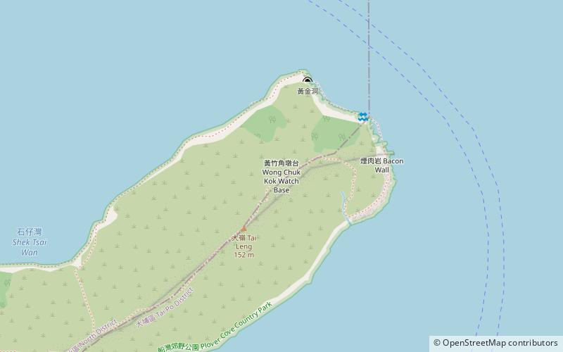
Wong Chuk Kok Tsui, formerly known as Bluff Head, is a cape in north east New Territories, Hong Kong. Administratively, it is part of North District and Tai Po District. ()
Tai PoChina
Wong Chuk Kok Tsui – popular in the area (distance from the attraction)
Nearby attractions include: Wong Shek, Tiu Tang Lung, Plover Cove Reservoir, Wong Shek Pier.
 Hill
HillWong Shek, Hong Kong
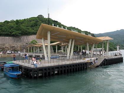
134 min walk • Wong Shek, or Wong Ma Tei, is an area in the northern part of the Sai Kung Peninsula in Hong Kong. It is under the administration of Tai Po District. In the area, there are picnic facilities with views of the sea.
 Hill
HillTiu Tang Lung
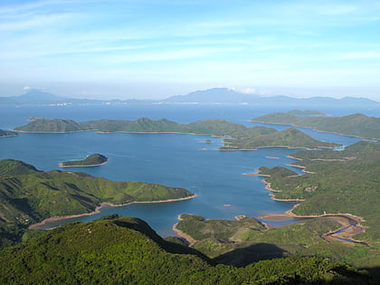
121 min walk • Tiu Tang Lung is a hidden gem amongst the rolling hills of northeastern Hong Kong, offering a serene escape from the bustling city life. This hill, standing at an elevation of 416 meters, is part of the undulating range that forms the spine of the Plover Cove Country...
 Nature, Natural attraction, Lake
Plover Cove Reservoir, Shenzhen
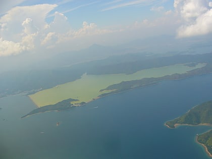
134 min walk • We invite you to discover Plover Cove Reservoir – a picturesque water reservoir that is an oasis of calm in the dynamic city of Shenzhen in China. As one of the largest artificial lakes in the region, Plover Cove Reservoir is not only a key source of drinking water...
 Piers and boardwalks
Wong Shek Pier, Hong Kong
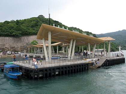
130 min walk • Wong Shek Pier is a public pier on the shore of Long Harbour in the north-east of Hong Kong's New Territories. It is situated in the Wong Shek area of the Sai Kung Peninsula. Administratively it is in Tai Po District.
 Harbor
Long Harbour, Hong Kong
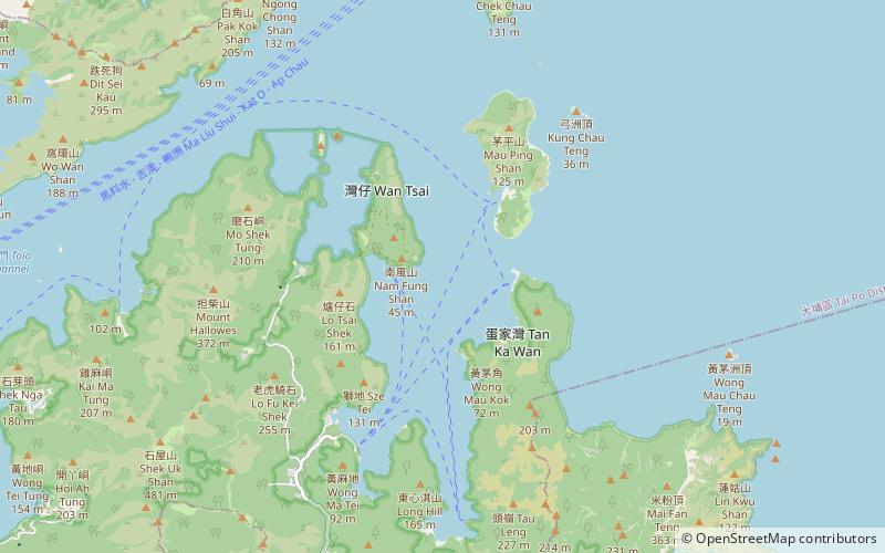
90 min walk • Long Harbour, also known as Tai Tan Hoi, is a natural harbour formed from an inlet of Mirs Bay to the north of Sai Kung Peninsula, Hong Kong.
 Archaeological site
Hoi Ha, Hong Kong
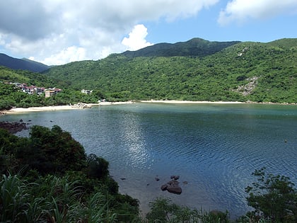
85 min walk • Hoi Ha is a place and a village on the innermost shore of Hoi Ha Wan, Hong Kong. It is at the north of Pak Sha O in the Sai Kung Peninsula.
 Park
ParkSai Kung West Country Park, Hong Kong
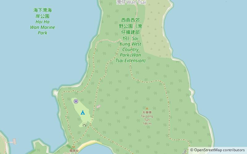
74 min walk • Sai Kung West Country Park is a 1.23 square kilometres country park on the Sai Kung Peninsula in northeast Hong Kong.
 Area
AreaChe Lei Pai, Hong Kong
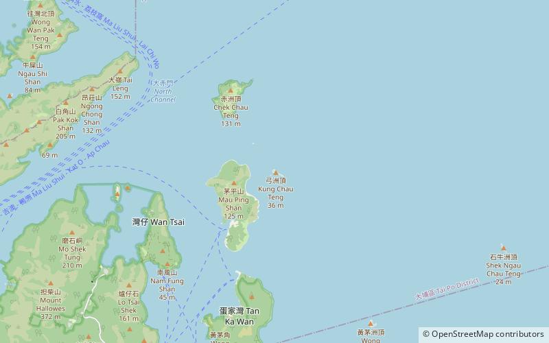
105 min walk • Che Lei Pai is an islet in Tolo Channel in the northeastern New Territories of Hong Kong. The island is north of Pak Kok Chai and south of Fu Tau Sha. It is under the administration of the Tai Po District.
 Area
AreaTai Tau Chau, Tung Ping Chau
75 min walk • Tai Tau Chau also known for its less popular name Urn Island, is an island in the water body Sham Tuk Mun, Sai Kung District, Hong Kong. Inner Port Shelter and Rocky Harbour are in close proximity to the island.
 Island, Area
Grass Island, Hong Kong
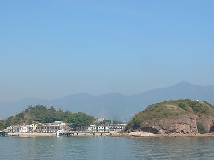
73 min walk • Grass Island or Tap Mun is an island in Hong Kong, located in the northeastern part of the territory. Its area is 1.69 km². Administratively, it is part of the Tai Po District.
 Island, Area
Ap Chau, Hong Kong
129 min walk • Ap Chau, also known as Robinson Island, with a size of 0.04 km² is an island in the Crooked Harbour, in the north-eastern New Territories of Hong Kong. It is located in Ap Chau Bay and is under the administration of North District. The island had 8 inhabitants as of June 2008.
