Changshou Road Subdistrict, Shanghai
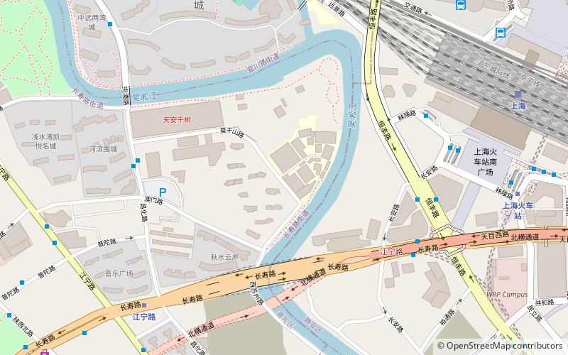
Map
Facts and practical information
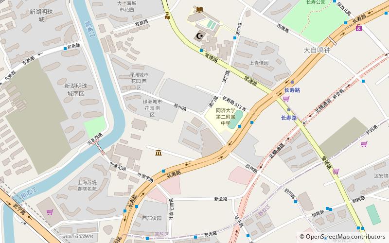
Changshou Road Subdistrict is a subdistrict on the southern side of Putuo District, Shanghai. The subdistrict was formed on 23 October 1991 from the merger of Jiaozhou Road Subdistrict and Putuo Road Subdistrict and was expanded in April 2004 when parts of Baiyu Subdistrict, Shiquan Subdistrict and Dongxin Subdistrict during an area adjustment of Putuo District. There are 31 village-level divisions within Changshou Road Subdistrict. ()
Address
普陀 (武宁)Shanghai
ContactAdd
Social media
Add
Getting there by public transportation
Public transportation stops near this location
- Metro
- Bus
- Trolleybus
 Metro
Metro
- Calculate route长寿路常德路 4 min walk
- Calculate route胶州路余姚路 9 min walk
- Calculate route健康猫运动生活馆 16 min walk
- Calculate routeChangshou Road 6 min walk
- Calculate routeWuning Road 13 min walk
- Calculate routeShanghai Exhibition Center 41 min walk
Day trips


Frequently Asked Questions (FAQ)
Which popular attractions are close to Changshou Road Subdistrict?
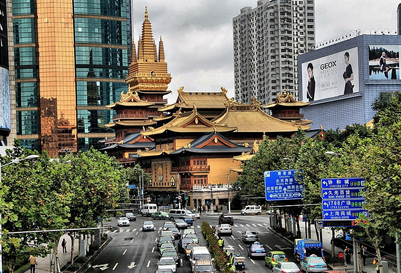
Nearby attractions include Huxi Mosque, Shanghai (9 min walk), Jade Buddha Temple, Shanghai (18 min walk).
How to get to Changshou Road Subdistrict by public transport?
The nearest stations to Changshou Road Subdistrict:
Bus
Metro
Trolleybus
Bus
- 长寿路常德路 • Lines: 830 (4 min walk)
- 胶州路余姚路 • Lines: 830 (9 min walk)
Metro
- Changshou Road • Lines: 13, 7 (6 min walk)
- Wuning Road • Lines: 13, 14 (13 min walk)
Trolleybus
- Shanghai Exhibition Center • Lines: 71 (41 min walk)