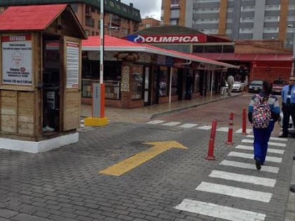
Autopista Norte, Bogotá
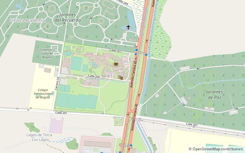
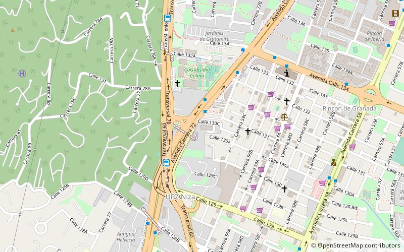
Map
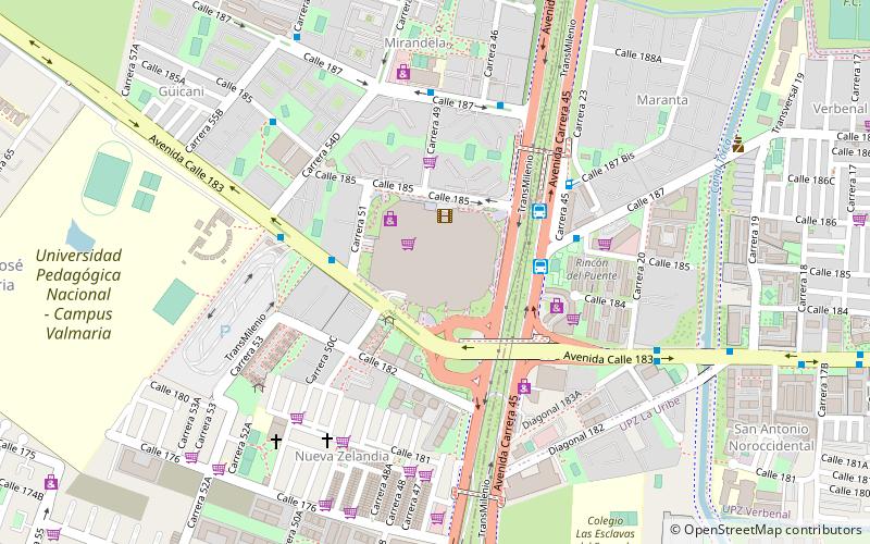
Map

Facts and practical information
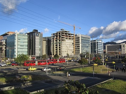
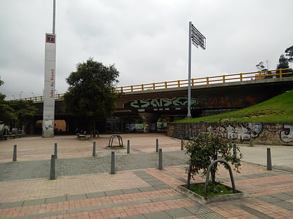
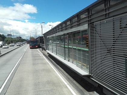
Autopista Norte, also called Autopista paseo de los libertadores, is a major road in Bogotá, Colombia, running through the northern part of the city to its southern end at Avenida Caracas. ()
Address
Suba (San José de Bavaria)Bogotá
ContactAdd
Social media
Add
Day trips
Autopista Norte – popular in the area (distance from the attraction)
Nearby attractions include: Centro Comercial Santafé, Suba Avenida Boyacá, Los Lagartos Open, Calle 142.
Frequently Asked Questions (FAQ)
How to get to Autopista Norte by public transport?
The nearest stations to Autopista Norte:
Bus
Train
Bus
- Bus stop to zipaquira (4 min walk)
- Calle 187 (5 min walk)
Train
- San Antonio (28 min walk)
