Suba, Bogotá
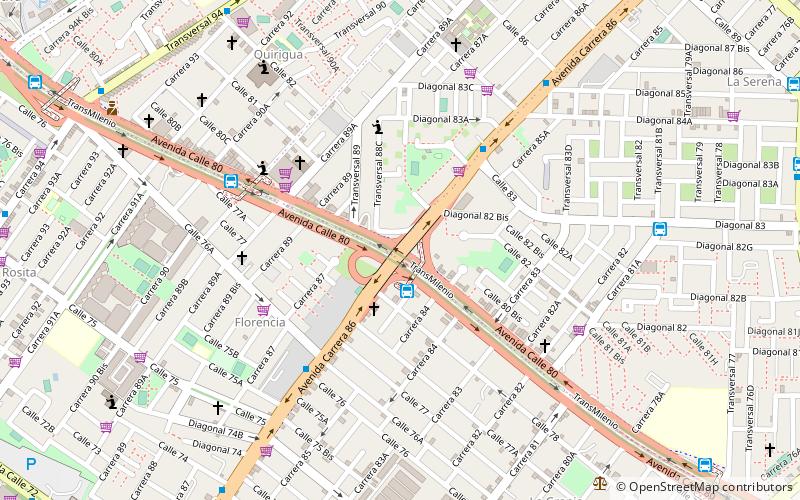
Map
Map

Facts and practical information
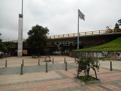
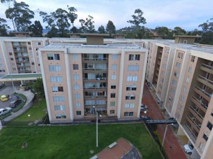
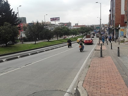
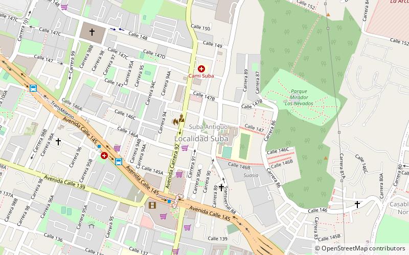
Suba is the 11th locality of Bogotá, capital of Colombia. It is located in the northwest of the city, bordering to the north the municipality of Chía in Cundinamarca, to the west the municipality of Cota, to the east the locality Usaquén and to the south the localities Engativá and Barrios Unidos. This district is inhabited by residents of all social classes. ()
Address
SubaBogotá
ContactAdd
Social media
Add
Day trips
Suba – popular in the area (distance from the attraction)
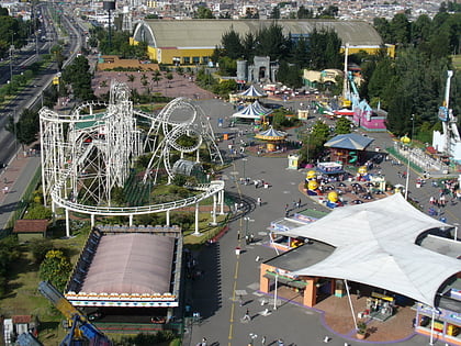
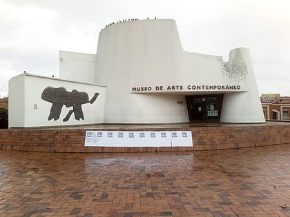
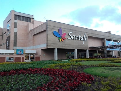
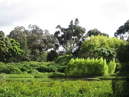
Nearby attractions include: Salitre Mágico, Museum of Contemporary Art of Bogotá, Centro Comercial Santafé, Córdoba Wetland.
Frequently Asked Questions (FAQ)
How to get to Suba by public transport?
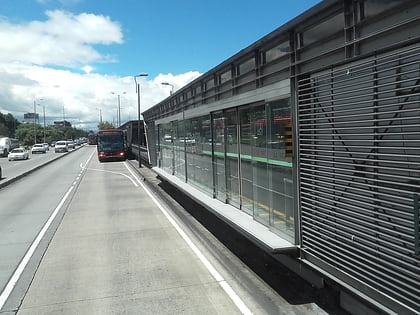
The nearest stations to Suba:
Bus
Bus
- Suba - Transversal 91 (7 min walk)
- 21 Ángeles (12 min walk)

