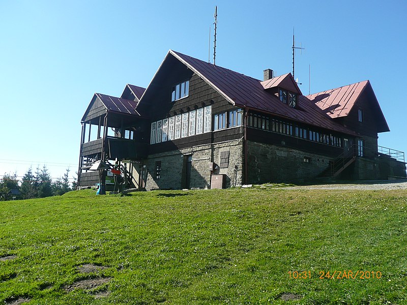
Chata Javorový vrch, Třinec

Gallery (2)
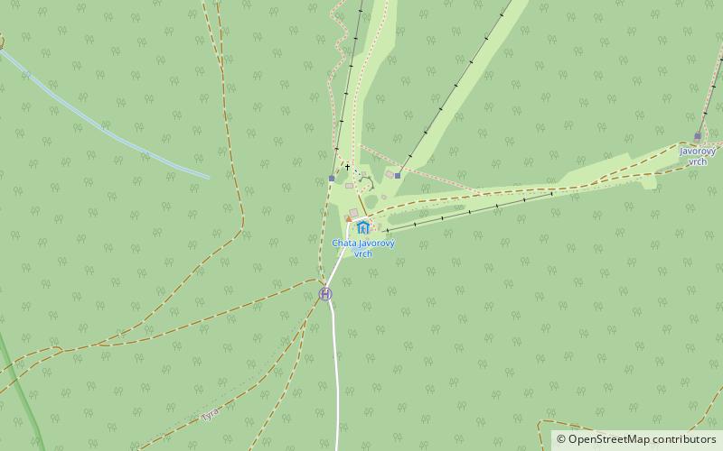
Map
Map
Gallery
Facts and practical information
Chata Javorový vrch (address: Tyra 58) is a place located in Třinec (Moravskoslezský region) and belongs to the category of hiking, alpine hut.
It is situated at an altitude of 3097 feet, and its geographical coordinates are 49°37'39"N latitude and 18°37'39"E longitude.
Among other places and attractions worth visiting in the area are: Kostel Božího Těla (church, 70 min walk), Stadion Rudolfa Labaje (sport, 86 min walk), Lesní stadion (sport, 86 min walk).
Coordinates: 49°37'39"N, 18°37'39"E
Day trips


