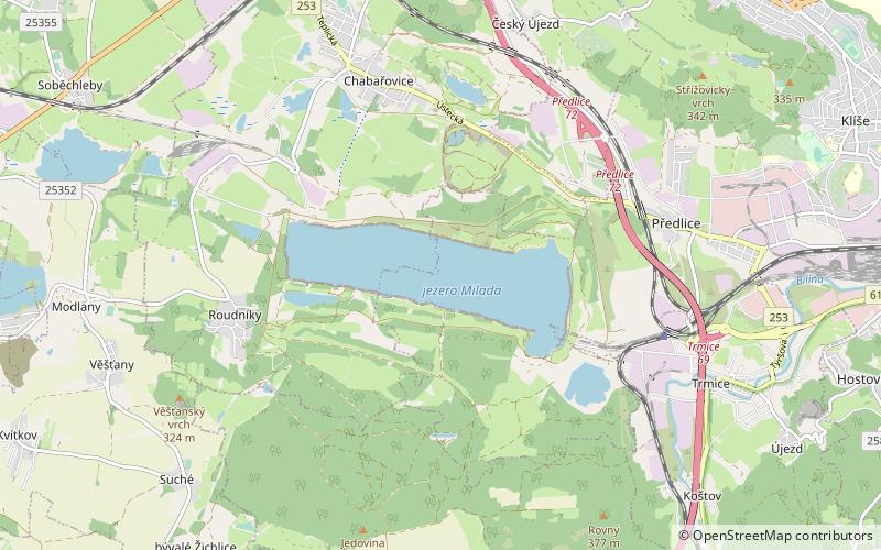
Lake Milada, Ústí nad Labem
Map

Map

Facts and practical information
Lake Milada, also known as Chabařovické jezero, is a reservoir in the Czech Republic. It originated from excavation by an old coal mine and flooded former villages, Hrbovice, Tuchomyšl and Vyklice. The lake's surface area stretches 250 ha, which makes it slightly smaller than Lake Mácha. Its average depth is 15.5 meters and its maximum depth is 22 m. The capacity is approximately 35 mil. m3. ()
Local name: Milada Area: 0.45 mi²Maximum depth: 72 ftElevation: 407 ft a.s.l.Coordinates: 50°39'13"N, 13°57'8"E
Address
Ústí nad Labem
ContactAdd
Social media
Add
Day trips
Lake Milada – popular in the area (distance from the attraction)
Nearby attractions include: Hrad Střekov, Komáří hůrka, Ústí nad Labem Zoo, Elbe Sluice.
Frequently Asked Questions (FAQ)
How to get to Lake Milada by public transport?
The nearest stations to Lake Milada:
Bus
Bus
- Chabařovice, Chabařovická • Lines: 450, 454, 458 (26 min walk)


