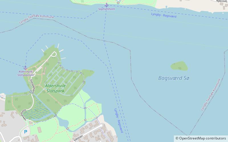
Lake Bagsværd, Copenhagen
Map

Map

Facts and practical information
Lake Bagsværd is a lake in northeastern Zealand, Denmark. After Furesø, it is the second largest lake in the Mølleå system. The lake is an appendix to the Mølleåen via Furå further on to Lyngby Lake. ()
Local name: Bagsværd Sø Area: 0.45 mi²Maximum depth: 11 ftElevation: 59 ft a.s.l.Coordinates: 55°46'18"N, 12°27'26"E
Address
Northern SuburbsCopenhagen
ContactAdd
Social media
Add
Day trips
Lake Bagsværd – popular in the area (distance from the attraction)
Nearby attractions include: Sophienholm, Bagsværd Church, Lyngby Lake, Aldershvile Slotspark.
Frequently Asked Questions (FAQ)
Which popular attractions are close to Lake Bagsværd?
Nearby attractions include Aldershvile Slotspark, Copenhagen (6 min walk), Sophienholm, Copenhagen (7 min walk), Fæstningskanalen, Farum (13 min walk), Frederiksdal House, Copenhagen (20 min walk).
How to get to Lake Bagsværd by public transport?
The nearest stations to Lake Bagsværd:
Light rail
Bus
Light rail
- Bagsværd • Lines: B, Bx (19 min walk)
- Skovbrynet • Lines: B, Bx (26 min walk)
Bus
- Bagsværd St. • Lines: 250S (19 min walk)
- Granvej • Lines: 250S (26 min walk)

 Metro
Metro


