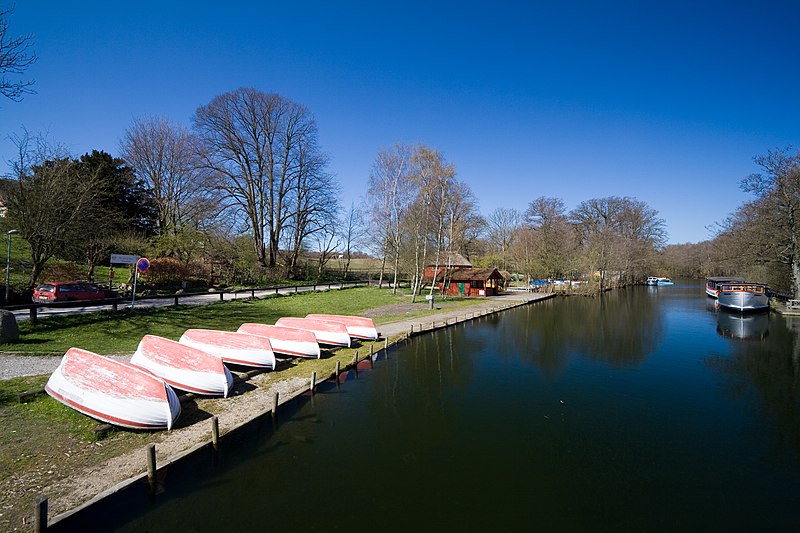
Fæstningskanalen, Farum


Facts and practical information
Fæstningskanalen is a canal in central Kongens Lyngby, Lyngby-Taarbæk Municipality, Copenhagen, Denmark. Created in the 1880s as part of the new fortification ring around the Danish capital, it runs from Lyngby Lake in the west to Lyngby Hovedgade in the east. From there it originally continued to Ermelunden in Jægersborg Dyrehave, but this last leg of the canal is no longer filled with water. The project also included a more upstream straightening of the section of Mølleåen that connects Furesø in the west to the west side of Lyngby Lake in the east. The canal complemented the West Rampart and a series of coastal fortresses which were built at the same time. In the event of an enemy invasion, a dam at each end of the canal, one at Frederiksdal and one at Ermelunden, would be opened, and the natural drainage of Lyngby Lake would be blocked, leading to the flooding of an extensive area of land along Hvidørebækken all the way out to the Øresund coast. Water would also be led through Gentofte Lake to Utterslev Mose, leading to further floodings. Together with the moat in front of the West Rampart, this would create a complete water barrier around the Danish capital. ()
Northern SuburbsFarum
Fæstningskanalen – popular in the area (distance from the attraction)
Nearby attractions include: Sophienholm, Bagsværd Church, Lyngby Lake, Aldershvile Slotspark.
Frequently Asked Questions (FAQ)
Which popular attractions are close to Fæstningskanalen?
How to get to Fæstningskanalen by public transport?
Bus
- Bagsværd St. • Lines: 250S (31 min walk)
Light rail
- Skovbrynet • Lines: B, Bx (31 min walk)


