Fotografisk Center, Copenhagen
Map

Map

Facts and practical information
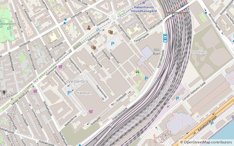
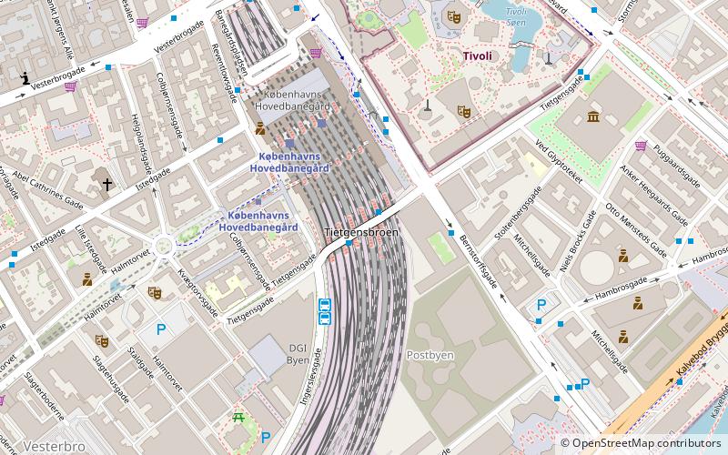
Fotografisk Center is an exhibition space in Copenhagen, Denmark, dedicated to international and Danish photographic art. Since 1 January 2016 it has been based in the Copenhagen Meat Packing District at Staldgade 16, 1799 Copenhagen V. ()
Coordinates: 55°40'7"N, 12°33'43"E
Address
Staldgade 16Vesterbro - Kongens Enghave (Flæsketorvets)Copenhagen
Contact
Social media
Add
Day trips
Fotografisk Center – popular in the area (distance from the attraction)
Nearby attractions include: DGI-byen, Star Flyer, Museum of Copenhagen, Kødbyen.
Frequently Asked Questions (FAQ)
Which popular attractions are close to Fotografisk Center?
Nearby attractions include Øksnehallen, Copenhagen (2 min walk), Warehouse 9, Copenhagen (2 min walk), Kødbyen, Copenhagen (3 min walk), Vesterbro, Copenhagen (3 min walk).
How to get to Fotografisk Center by public transport?
The nearest stations to Fotografisk Center:
Bus
Metro
Light rail
Train
Ferry
Bus
- Hovedbanegården DGI byen • Lines: 032, 073, 173, 602, 613, 620, 621, 625, 627, 628, 633, 820, N05, N110, N132, N1376, N232, N32, N602, N613, N73, N844 (5 min walk)
- Flixbus (5 min walk)
Metro
- Copenhagen Central Station • Lines: M3, M4 (6 min walk)
- Enghave Plads • Lines: M3 (16 min walk)
Light rail
- Dybbølsbro • Lines: A, B, Bx, C, E, H (7 min walk)
- Copenhagen Central Station • Lines: A, B, Bx, C, E, H (8 min walk)
Train
- Copenhagen Central Station (8 min walk)
- Havneholmen (13 min walk)
Ferry
- Bryggebroen • Lines: 991, 992 (14 min walk)
- Det Kongelige Bibliotek • Lines: 991, 992 (20 min walk)

 Metro
Metro


