Mikkelborg, Øresund Coast
Map

Gallery

Facts and practical information
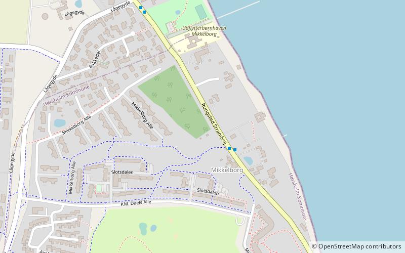
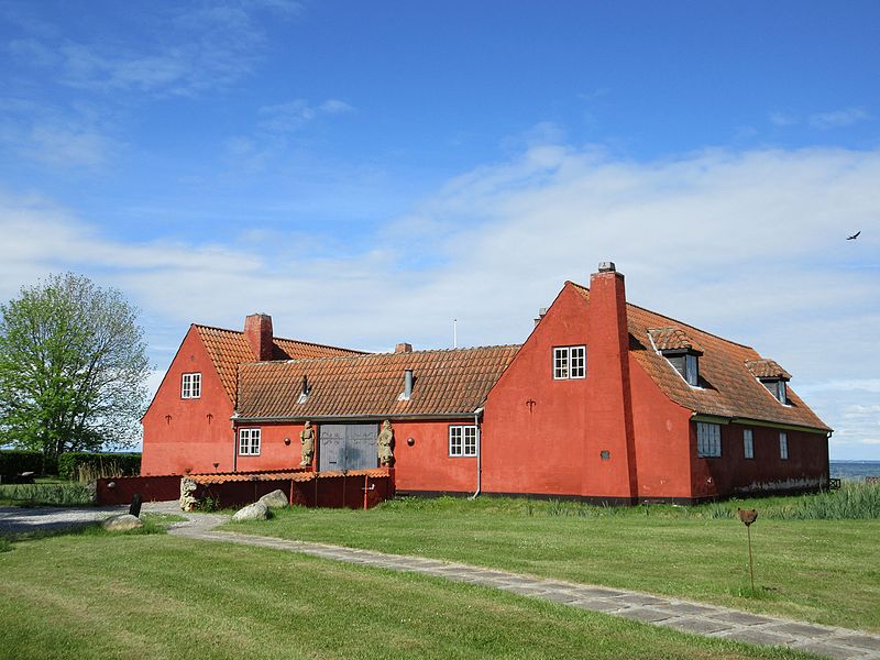
Mikkelborg is a seaside locality in Hørsholm Municipality, located between Rungsted to the south and Kokkedal to the north, some 20 km north of Copenhagen, Denmark. Mikkelborg Strandpark is a public park and beach. Mikkelgård, a listed house from 1916 located inside the park, is now operated as a restaurant. ()
Coordinates: 55°54'40"N, 12°31'19"E
Address
Øresund Coast
ContactAdd
Social media
Add
Day trips
Mikkelborg – popular in the area (distance from the attraction)
Nearby attractions include: Nivaagaard, Sophienberg, Nivaagaards Malerisamling, Vallerød.
Frequently Asked Questions (FAQ)
How to get to Mikkelborg by public transport?
The nearest stations to Mikkelborg:
Bus
Train
Bus
- Mikkelborg Park Nord • Lines: 388 (2 min walk)
- Lågegyde • Lines: 388 (6 min walk)
Train
- Kokkedal (24 min walk)


