Kløvermarken, Copenhagen
Map

Gallery

Facts and practical information
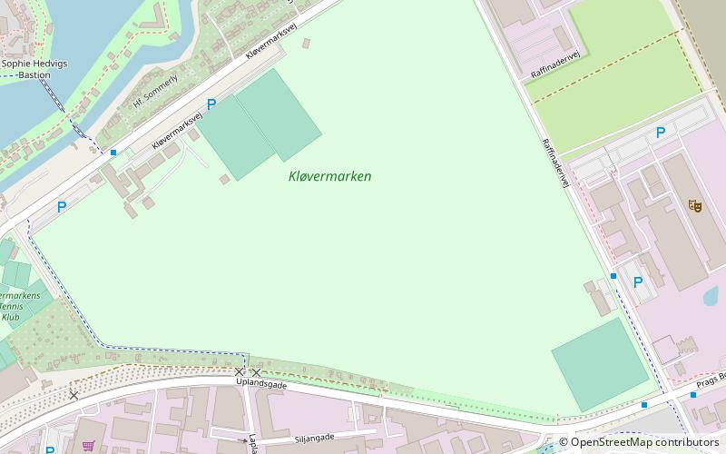
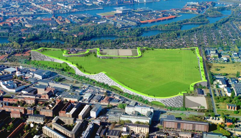
Kløvermarken is a large green space in the Amager East district of Copenhagen, Denmark. Originally a military area, it has later been home to both Copenhagen's first air field and a camp for German refugees after World War II. It now sports football pitches and other sports facilities as well as a nature centre for children. ()
Elevation: -7 ft b.s.l.Coordinates: 55°40'18"N, 12°36'50"E
Address
Amager Øst (Kløvermarks)Copenhagen
ContactAdd
Social media
Add
Day trips
Kløvermarken – popular in the area (distance from the attraction)
Nearby attractions include: Church of Our Saviour, Copenhagen Opera House, Charlottenborg Palace, Amager Centret.
Frequently Asked Questions (FAQ)
Which popular attractions are close to Kløvermarken?
Nearby attractions include Christianshavns Enveloppe, Copenhagen (6 min walk), Dyssebroen, Copenhagen (8 min walk), Vermlandsgade, Copenhagen (11 min walk), Christianshavns Vold, Copenhagen (11 min walk).
How to get to Kløvermarken by public transport?
The nearest stations to Kløvermarken:
Bus
Metro
Ferry
Bus
- Bodenhoffs Plads • Lines: 2A (16 min walk)
- Arsenaløen • Lines: 2A (16 min walk)
Metro
- Lergravsparken • Lines: M2 (17 min walk)
- Amagerbro • Lines: M2 (19 min walk)
Ferry
- Holmen Nord • Lines: 991, 992 (23 min walk)
- Operaen • Lines: 991, 992 (23 min walk)

 Metro
Metro


