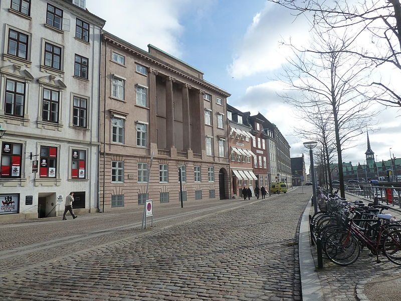
Ved Stranden, Copenhagen
Map

Gallery

Facts and practical information
Ved Stranden is a canal side public space and street which runs along a short section of the Zealand side of Slotsholmen Canal in central Copenhagen, Denmark. It begins at Holmens Kanal, opposite the Church of Holmen, and runs west along the canal for one and a half blocks before widening into a small, triangular space adjacent to Højbro Bridge and Højbro Plads. The name of the street refers to Gammel Strand, 'Old Beach', which it formed part of until 1961. ()
Address
Indre By (Strøget)Copenhagen
ContactAdd
Social media
Add
Day trips
Ved Stranden – popular in the area (distance from the attraction)
Nearby attractions include: Købmagergade, Karel van Mander House, Strædet, Ved Stranden 10.
Frequently Asked Questions (FAQ)
Which popular attractions are close to Ved Stranden?
Nearby attractions include Gustmeyer House, Copenhagen (1 min walk), Sundorph House, Copenhagen (1 min walk), Boldhusgade, Copenhagen (1 min walk), Agnete and the Merman, Copenhagen (2 min walk).
How to get to Ved Stranden by public transport?
The nearest stations to Ved Stranden:
Bus
Metro
Ferry
Train
Light rail
Bus
- Gammel Strand St., Christiansborg • Lines: 23, 2A (2 min walk)
- Holmens Kirke • Lines: 23 (3 min walk)
Metro
- Gammel Strand • Lines: M3, M4 (3 min walk)
- Kongens Nytorv • Lines: M1, M2, M3, M4 (6 min walk)
Ferry
- Knippelsbro • Lines: 991, 992 (9 min walk)
- Det Kongelige Bibliotek • Lines: 991, 992 (10 min walk)
Train
- Nørreport (15 min walk)
- Copenhagen Central Station (18 min walk)
Light rail
- Nørreport • Lines: A, B, Bx, C, E, H (15 min walk)
- Vesterport • Lines: A, B, Bx, C, E, H (19 min walk)

 Metro
Metro


