Sankt Thomas Plads, Copenhagen
Map

Gallery

Facts and practical information
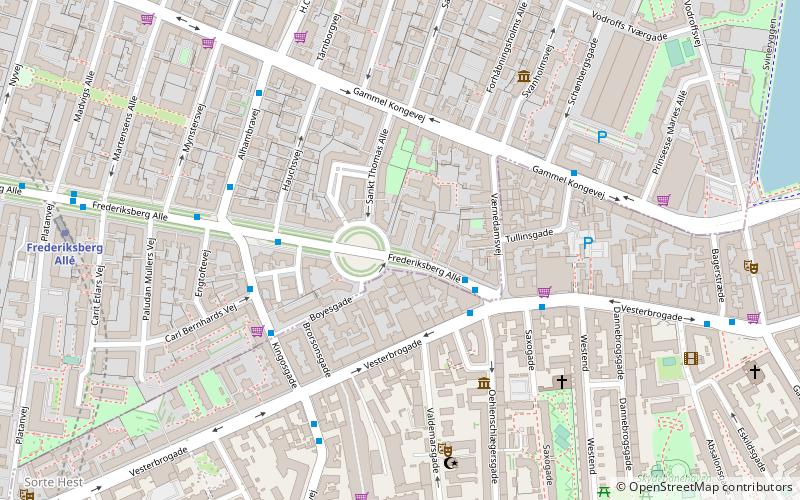
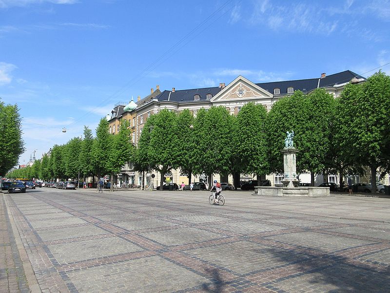
Sankt Thomas Plads is a round plaza located on Frederiksberg Allé, near its eastern end in the Frederiksberg district of Copenhagen, Denmark. ()
Length: 3740 ftCoordinates: 55°40'24"N, 12°32'52"E
Day trips
Sankt Thomas Plads – popular in the area (distance from the attraction)
Nearby attractions include: Værnedamsvej, Vesterbrogade, Museum of Copenhagen, Det Ny Teater.
Frequently Asked Questions (FAQ)
Which popular attractions are close to Sankt Thomas Plads?
Nearby attractions include Kingosgade, Copenhagen (4 min walk), Alhambravej, Copenhagen (5 min walk), Apostle Church, Copenhagen (5 min walk), Tårnborgvej, Copenhagen (5 min walk).
How to get to Sankt Thomas Plads by public transport?
The nearest stations to Sankt Thomas Plads:
Bus
Metro
Light rail
Train
Ferry
Bus
- Værnedamsvej • Lines: 7A (2 min walk)
- Frederiksberg Allé • Lines: 1A, 7A, 9A (4 min walk)
Metro
- Frederiksberg Allé • Lines: M3 (8 min walk)
- Enghave Plads • Lines: M3 (11 min walk)
Light rail
- Vesterport • Lines: A, B, Bx, C, E, H (16 min walk)
- Copenhagen Central Station • Lines: A, B, Bx, C, E, H (17 min walk)
Train
- Copenhagen Central Station (18 min walk)
- Havneholmen (24 min walk)
Ferry
- Bryggebroen • Lines: 991, 992 (29 min walk)

 Metro
Metro


