Vester Allés Kaserne, Aarhus
Map

Gallery

Facts and practical information
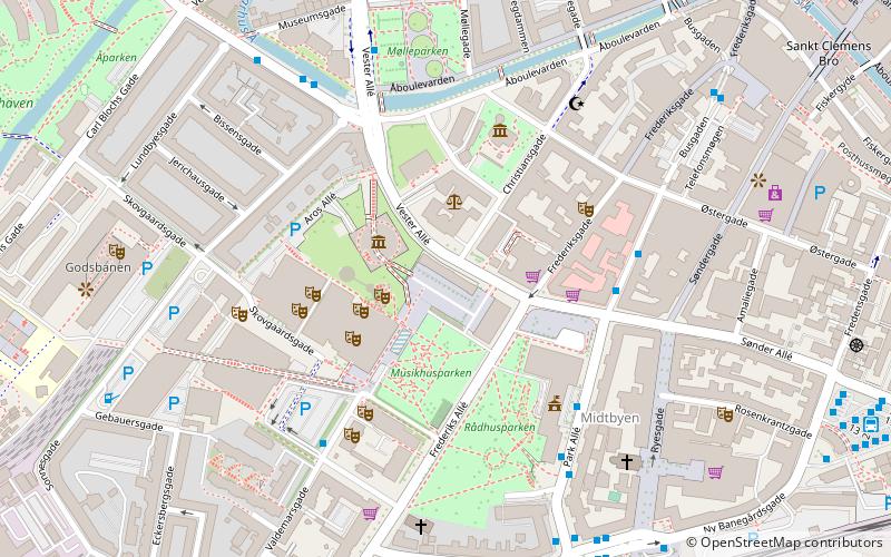
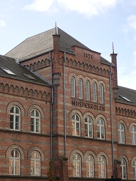
Vester Allé Kaserne is a former military barracks and listed building in the city of Aarhus. The barracks was built on the area between Vester Allé, Frederiks Allé and Thomas Jensens Allé in 1875-1878 and was closed in 1969 after which the buildings were taken over by Aarhus Municipality. There are two remaining buildings left from the original complex; the Officersbygningen and Ridehuset. ()
Coordinates: 56°9'13"N, 10°12'3"E
Address
Århus CAarhus
ContactAdd
Social media
Add
Day trips
Vester Allés Kaserne – popular in the area (distance from the attraction)
Nearby attractions include: Tivoli Friheden, Badeanstalten Spanien, ARoS, Bruun's Galleri.
Frequently Asked Questions (FAQ)
Which popular attractions are close to Vester Allés Kaserne?
Nearby attractions include Retten i Århus, Aarhus (2 min walk), ARoS, Aarhus (2 min walk), Concert Hall Park, Aarhus (2 min walk), Danish National Archives, Aarhus (3 min walk).
How to get to Vester Allés Kaserne by public transport?
The nearest stations to Vester Allés Kaserne:
Bus
Light rail
Train
Tram
Bus
- H. H. Seedorffs Stræde • Lines: 11, 13, 18, 1A, 2A, 3A, 4A (4 min walk)
- Park allé • Lines: 13 (4 min walk)
Light rail
- Aarhus H • Lines: L2 (7 min walk)
- Nørreport • Lines: L2 (18 min walk)
Train
- Aarhus Central Station (8 min walk)
- Skolebakken (14 min walk)
Tram
- Dokk1 • Lines: L2 (12 min walk)
- Skolebakken • Lines: L2 (14 min walk)


