Church of the Free Port, Copenhagen
Map

Map

Facts and practical information
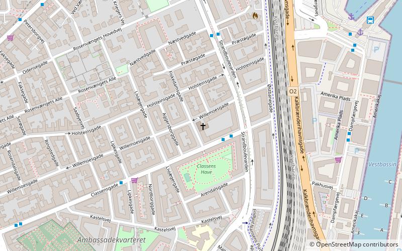
The Church of the Free Port is a Church of Denmark parish church in the Østerbro district of Copenhagen, Denmark. It was built in 1905 to designs by Thorvald Jørgensen, best known for his design of Christiansborg Palace, home to the Danish Parliament. It takes its name from the Freeport of Copenhagen which had been established on the coast just east of the church a decade earlier. ()
Local name: FrihavnskirkenCompleted: 1905 (121 years ago)Coordinates: 55°41'56"N, 12°35'19"E
Address
Willemoesgade 68Østerbros (Aggersborgs)Copenhagen
ContactAdd
Social media
Add
Day trips
Church of the Free Port – popular in the area (distance from the attraction)
Nearby attractions include: Maritime Monument, Østerbrogade, Memorial to Nordic Volunteers and Fallen, Østerbro Svømmehal.
Frequently Asked Questions (FAQ)
Which popular attractions are close to Church of the Free Port?
Nearby attractions include Aggersborggade, Copenhagen (2 min walk), Classensgade, Copenhagen (4 min walk), Kastelsvej, Copenhagen (5 min walk), Institute for the Blind, Copenhagen (6 min walk).
How to get to Church of the Free Port by public transport?
The nearest stations to Church of the Free Port:
Bus
Train
Metro
Light rail
Ferry
Bus
- Strandboulevarden • Lines: 23 (2 min walk)
- Præstøgade • Lines: 23 (4 min walk)
Train
- Østerport (11 min walk)
- Nørreport (31 min walk)
Metro
- Østerport • Lines: M3, M4 (11 min walk)
- Trianglen • Lines: M3 (13 min walk)
Light rail
- Nordhavn • Lines: A, B, Bx, C, E (11 min walk)
- Østerport • Lines: A, B, Bx, C, E, H (12 min walk)
Ferry
- Nordre Toldbod • Lines: 991, 992 (22 min walk)
- Refshaleøen • Lines: 991, 992 (24 min walk)

 Metro
Metro


