Trianglen, Copenhagen
Map
Gallery
Facts and practical information
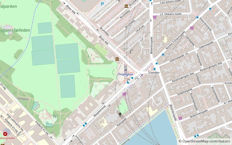
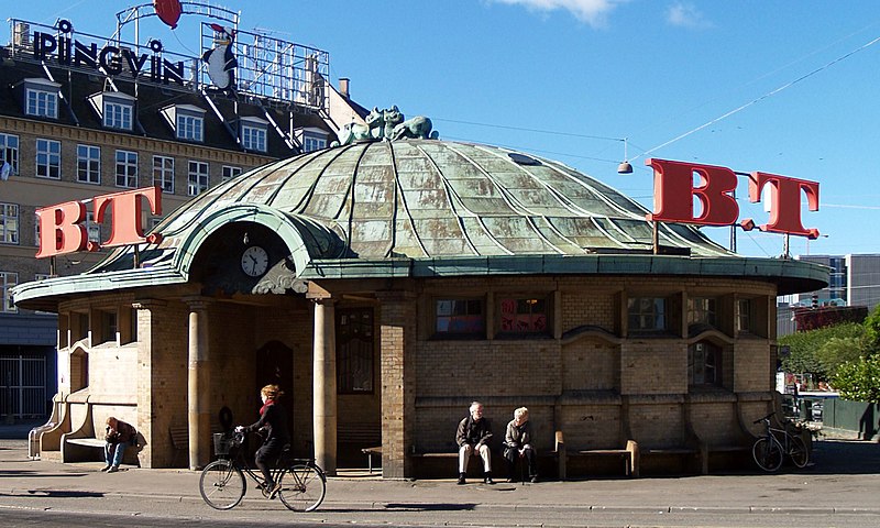
Trianglen is a central junction and public space in the Østerbro district of Copenhagen, Denmark. Five streets meet in the junction: Blegdamsvej, Øster Allé, Østerbrogade, Nordre Frihavnsgade and Odensegade. Trianglen is a station on the City Circle Line of the Copenhagen Metro. ()
Coordinates: 55°41'57"N, 12°34'39"E
Day trips
Trianglen – popular in the area (distance from the attraction)
Nearby attractions include: Parken Stadium, Nazareth Church, Fælledparken, Reunification Monument.
Frequently Asked Questions (FAQ)
Which popular attractions are close to Trianglen?
Nearby attractions include Enigma, Copenhagen (3 min walk), Reunification Monument, Copenhagen (3 min walk), Nazareth Church, Copenhagen (5 min walk), Victor Borges Plads, Copenhagen (6 min walk).
How to get to Trianglen by public transport?
The nearest stations to Trianglen:
Bus
Metro
Light rail
Train
Ferry
Bus
- Trianglen St. • Lines: 14, 1A (1 min walk)
- Gustav Adolfs Gade • Lines: 1A (6 min walk)
Metro
- Trianglen • Lines: M3 (2 min walk)
- Østerport • Lines: M3, M4 (15 min walk)
Light rail
- Østerport • Lines: A, B, Bx, C, E, H (16 min walk)
- Nordhavn • Lines: A, B, Bx, C, E (17 min walk)
Train
- Østerport (16 min walk)
- Nørreport (28 min walk)
Ferry
- Nordre Toldbod • Lines: 991, 992 (30 min walk)
- Refshaleøen • Lines: 991, 992 (33 min walk)



 Metro
Metro


