Classensgade, Copenhagen
Map

Gallery

Facts and practical information
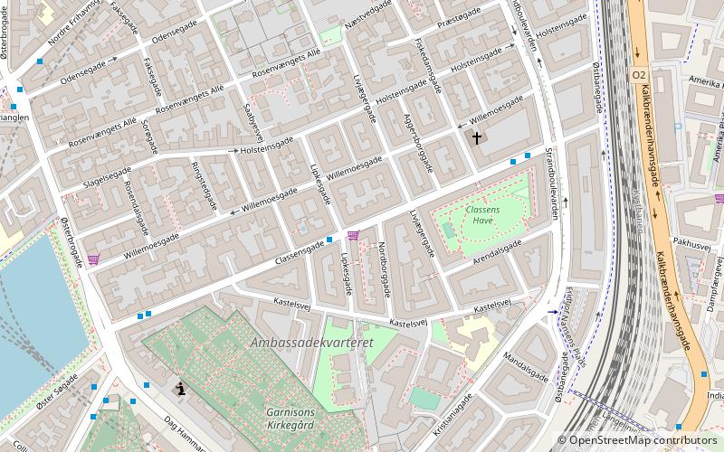
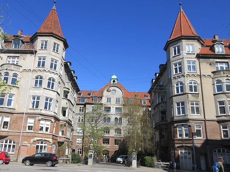
Classensgade is a street in the Østerbro district of Copenhagen, Denmark. It runs from Østerbrogade in the southwest to Østbanegade in the northeast. ()
Coordinates: 55°41'52"N, 12°35'9"E
Address
Østerbros (Mandals)Copenhagen
ContactAdd
Social media
Add
Day trips
Classensgade – popular in the area (distance from the attraction)
Nearby attractions include: Nazareth Church, Memorial to Nordic Volunteers and Fallen, Reunification Monument, Østerbro Svømmehal.
Frequently Asked Questions (FAQ)
Which popular attractions are close to Classensgade?
Nearby attractions include Kastelsvej, Copenhagen (3 min walk), Aggersborggade, Copenhagen (3 min walk), Church of the Free Port, Copenhagen (4 min walk), Institute for the Blind, Copenhagen (4 min walk).
How to get to Classensgade by public transport?
The nearest stations to Classensgade:
Bus
Metro
Train
Light rail
Ferry
Bus
- Lipkesgade • Lines: 23 (1 min walk)
- Strandboulevarden • Lines: 23 (5 min walk)
Metro
- Østerport • Lines: M3, M4 (9 min walk)
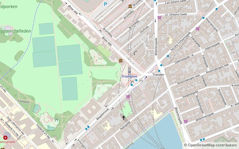
- Trianglen • Lines: M3 (11 min walk)
Train
- Østerport (9 min walk)
- Nørreport (28 min walk)
Light rail
- Østerport • Lines: A, B, Bx, C, E, H (9 min walk)
- Nordhavn • Lines: A, B, Bx, C, E (14 min walk)
Ferry
- Nordre Toldbod • Lines: 991, 992 (22 min walk)
- Refshaleøen • Lines: 991, 992 (25 min walk)

 Metro
Metro


