Skjoldhøj Kirke, Aarhus

Gallery (1)
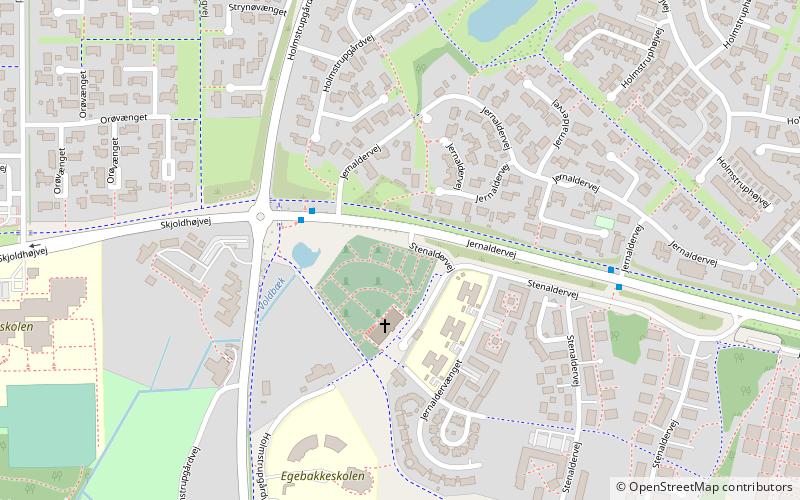
Map
Map
Facts and practical information
Skjoldhøj Kirke (address: Jernaldervej 425) is a place located in Aarhus (Midtjylland region) and belongs to the category of church.
It is situated at an altitude of 174 feet, and its geographical coordinates are 56°10'30"N latitude and 10°7'21"E longitude.
Planning a visit to this place, one can easily and conveniently get there by public transportation. Skjoldhøj Kirke is a short distance from the following public transport stations: Holmstrupgård/Jernaldervej (bus, 3 min walk).
Among other places and attractions worth visiting in the area are: Skjoldhøjkilen (park, 15 min walk), Hasle Hills (nature, 24 min walk), Aarhus Runestones (stela, 28 min walk).
Coordinates: 56°10'30"N, 10°7'21"E
Getting there by public transportation
Public transportation stops near this location
- Bus
 Bus
Bus
- Calculate routeHolmstrupgård/Jernaldervej 3 min walk
- Calculate routeStenaldervej 5 min walk
- Calculate routeAarhus - Eldalen/Viborgvej 11 min walk
Day trips


Frequently Asked Questions (FAQ)
Which popular attractions are close to Skjoldhøj Kirke?
Nearby attractions include Skjoldhøjkilen, Aarhus (15 min walk), Hasle Hills, Aarhus (24 min walk).
How to get to Skjoldhøj Kirke by public transport?
The nearest stations to Skjoldhøj Kirke:
Bus
Bus
- Holmstrupgård/Jernaldervej • Lines: 3A (3 min walk)
- Stenaldervej • Lines: 3A (5 min walk)