Åparken, Aarhus
Facts and practical information
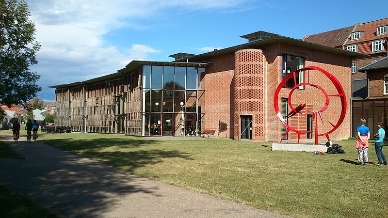
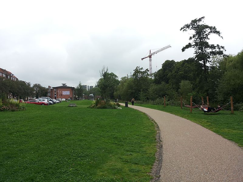
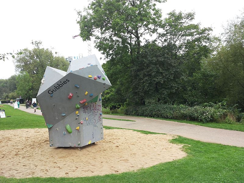
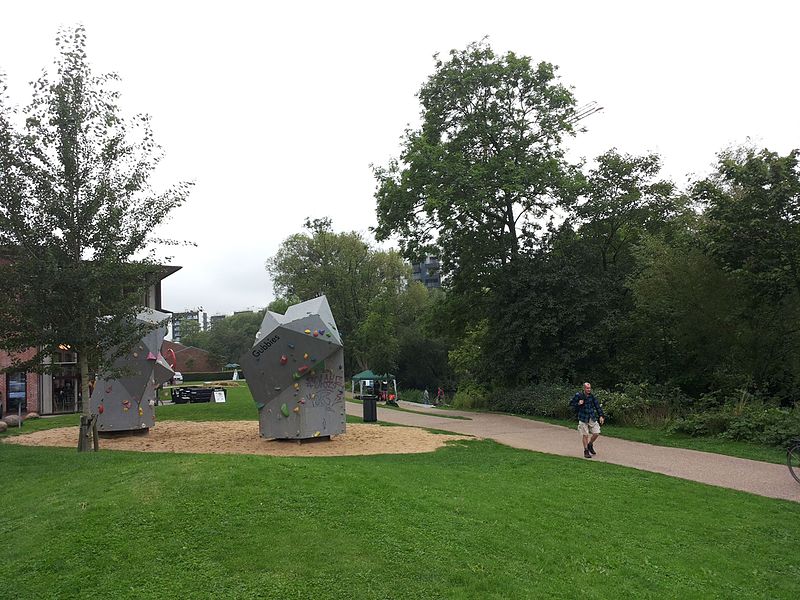
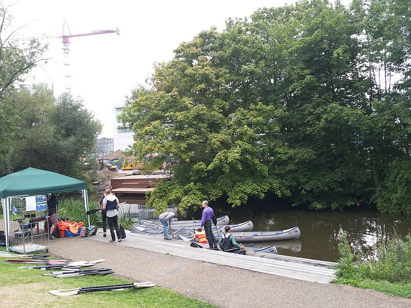
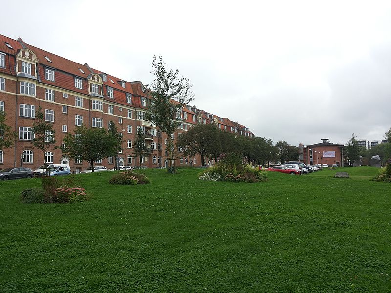
Åparken is a public park in central Aarhus, Denmark. The park is situated by the Aarhus River in the Vesterbro neighborhood in Midtbyen close to CeresByen, bounded by the streets Carls Blochs Gade and Thorvaldsensgade. The park is divided by a central pedestrian pathway which runs from the urban center and connects to the recreational path Brabrandstien towards the west, circumventing Brabrand Lake area. Åparken is the first of a number of green areas extending from the city centre along the river and the pathway of Brabrandstien. The long distance "Aarhus-Silkeborg hiking route" starts off from Åparken. ()
Århus CAarhus
Åparken – popular in the area (distance from the attraction)
Nearby attractions include: The Old Town, Badeanstalten Spanien, ARoS, Bruun's Galleri.
Frequently Asked Questions (FAQ)
Which popular attractions are close to Åparken?
How to get to Åparken by public transport?
Bus
- Aarhus - Mølleparken/Thorvaldsensgade • Lines: 113, 114, 117, 118 (4 min walk)
- Ceresbyen • Lines: 11, 113, 3A, 4A (4 min walk)
Light rail
- Aarhus H • Lines: L2 (14 min walk)
- Nørreport • Lines: L2 (20 min walk)
Train
- Aarhus Central Station (14 min walk)
- Skolebakken (19 min walk)
Tram
- Dokk1 • Lines: L2 (19 min walk)
- Skolebakken • Lines: L2 (19 min walk)


