Folkets Park, Copenhagen
Map

Map

Facts and practical information
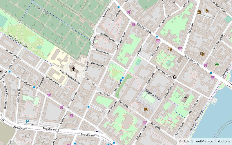
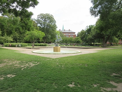
Folkets Park is a small park in Nørrebro in Copenhagen, situated between Griffenfeldsgade and Stengade. ()
Address
Stengade, GriffenfeldtsgadeNørrebro (Prins Jørgens)Copenhagen 2200
Contact
Social media
Add
Day trips
Folkets Park – popular in the area (distance from the attraction)
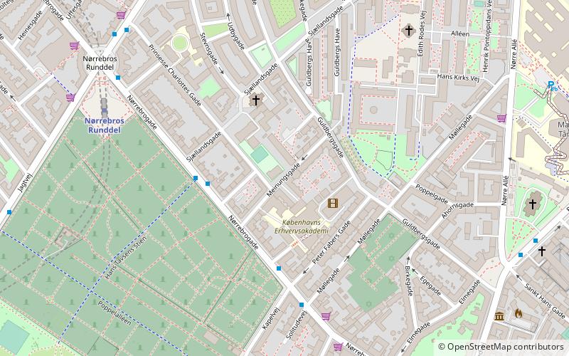
Nearby attractions include: Nørrebrogade, Nørrebro Bryghus, Assistens Cemetery, Hans Tavsens Park.
Frequently Asked Questions (FAQ)
Which popular attractions are close to Folkets Park?
Nearby attractions include Griffenfeldsgade, Copenhagen (1 min walk), Kapelvej, Copenhagen (3 min walk), Blågårds Plads, Copenhagen (4 min walk), Blågårdsgade, Copenhagen (4 min walk).
How to get to Folkets Park by public transport?
The nearest stations to Folkets Park:
Bus
Metro
Light rail
Train
Ferry
Bus
- Prins Jørgens Gade • Lines: 1A (1 min walk)
- Rantzausgade • Lines: 1A (4 min walk)
Metro
- Forum • Lines: M1, M2 (11 min walk)
- Nørrebros Runddel • Lines: M3 (13 min walk)
Light rail
- Nørreport • Lines: A, B, Bx, C, E, H (19 min walk)
- Vesterport • Lines: A, B, Bx, C, E, H (22 min walk)
Train
- Nørreport (20 min walk)
- Copenhagen Central Station (29 min walk)
Ferry
- Det Kongelige Bibliotek • Lines: 991, 992 (38 min walk)

 Metro
Metro


