Café Teatret, Copenhagen
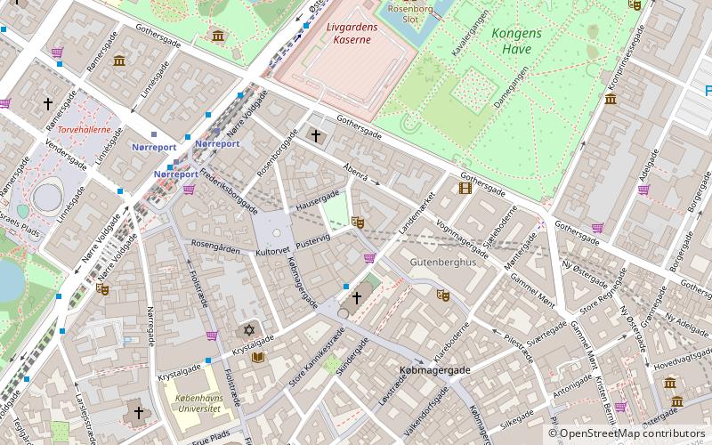
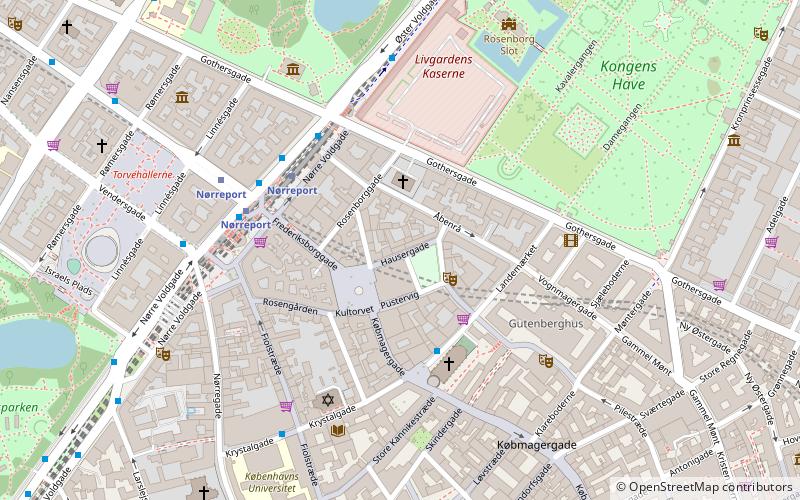
Map
Facts and practical information
Café Teatret is a theater in Copenhagen, Denmark that was established in 1972. It is located in Skindergade. The company stages new Danish plays as well as Danish premieres of foreign plays. One season usually sees between four and eight productions. ()
Address
Indre By (Reformert)Copenhagen
ContactAdd
Social media
Add
Getting there by public transportation
Public transportation stops near this location
- Metro
- Bus
- Light rail
- Train
- Ferry
 Metro
Metro
- Calculate routeNørreport 4 min walk
- Calculate routeCopenhagen Central Station 21 min walk
- Calculate routeØsterport 23 min walk
- Calculate routeNørreport 5 min walk
- Calculate routeVesterport 18 min walk
- Calculate routeØsterport 21 min walk
- Calculate routeCopenhagen Central Station 22 min walk
- Calculate routeNørreport St. 5 min walk
- Calculate routeNørreport Station 5 min walk
- Calculate routeGothersgade 9 min walk
- Calculate routeGeorg Brandes Plads, Parkmuseerne 9 min walk
- Calculate routeNørreport 6 min walk
- Calculate routeGammel Strand 10 min walk
- Calculate routeKongens Nytorv 11 min walk
- Calculate routeRådhuspladsen 14 min walk
- Calculate routeKnippelsbro 19 min walk
- Calculate routeDet Kongelige Bibliotek 19 min walk
- Calculate routeNyhavn 20 min walk
- Calculate routeOperaen 23 min walk
Maps Metro
Metro
MetroDay trips
Café Teatret – popular in the area (distance from the attraction)
Nearby attractions include: Strøget, Købmagergade, Jazzhus Montmartre, Karel van Mander House.


Frequently Asked Questions (FAQ)
Which popular attractions are close to Café Teatret?
Nearby attractions include Suhmsgade, Copenhagen (1 min walk), Landemærket, Copenhagen (1 min walk), Hauser Plads, Copenhagen (2 min walk), Pilestræde, Copenhagen (2 min walk).
How to get to Café Teatret by public transport?
The nearest stations to Café Teatret:
Train
Light rail
Bus
Metro
Ferry
Train
- Nørreport (4 min walk)
- Copenhagen Central Station (21 min walk)
Light rail
- Nørreport • Lines: A, B, Bx, C, E, H (5 min walk)
- Vesterport • Lines: A, B, Bx, C, E, H (18 min walk)
Bus
- Nørreport St. • Lines: 14, 150S, 15E, 184, 185, 350S, 5C, 6A (5 min walk)
- Nørreport Station • Lines: 5C (5 min walk)
Metro
- Nørreport • Lines: M1, M2 (6 min walk)
- Gammel Strand • Lines: M3, M4 (10 min walk)
Ferry
- Knippelsbro • Lines: 991, 992 (19 min walk)
- Det Kongelige Bibliotek • Lines: 991, 992 (19 min walk)