Trek Zone

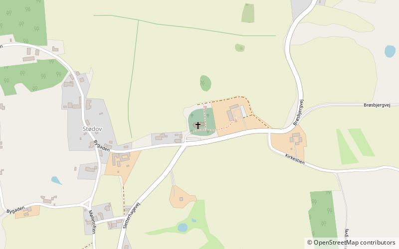
Helgenæs Kirke, Knebel

#2 among attractions in Knebel

Church
Helgenæs Kirke

Facts and practical information

Helgenæs Kirke (address: Brøsbjergvej 12) is a place located in Knebel (Midtjylland region) and belongs to the category of church.

It is situated at an altitude of 167 feet, and its geographical coordinates are 56°7'59"N latitude and 10°30'35"E longitude.

Among other places and attractions worth visiting in the area are: Sletterhage Fyr (lighthouse, 67 min walk), Trehøje Mols, Mols Bjerge National Park (park, 132 min walk), Stabelhøje, Mols Bjerge National Park (park, 132 min walk).

Coordinates: 56°7'59"N, 10°30'35"E
Address

Brøsbjergvej 12Knebel 8420 Denmark

Contact
Social media
Add

Knebel plan & book

Unleash the traveler in you — discover the cheapest flight deals, find the perfect hotel or hostel nearby, and search for the best car rental prices. Travel at your own pace to discover new places and enjoy your journey.

Day trips

Helgenæs Kirke – popular in the area (distance from the attraction)

Nearby attractions include: Sletterhage Fyr, Trehøje Mols, Stabelhøje, Knebel Kirke.

  • sletterhage fyr2.6 miS
  • trehoje mols mols bjerge national park5.1 miN
  • stabelhoje mols bjerge national park5.1 miN
  • knebel kirke5.5 miN
  • tved kirke5.2 miNW

Where to next? Visit midtjylland Midtjylland region page or discover the top tourist attractions in Denmark.