Charlottenlund, Copenhagen
Map

Map

Facts and practical information
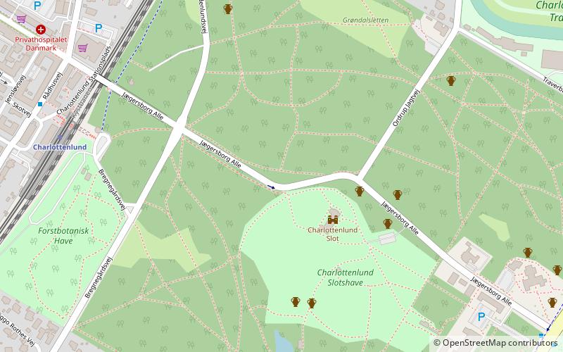
Charlottenlund is a suburban area on the coast north of Copenhagen, Denmark. It is the administrative seat of Gentofte Municipality. Bordered to the east by the Øresund, to the South by Hellerup and to the north by Klampenborg, it is one of the wealthiest areas in Denmark. The neighbourhood takes its name after Charlottenlund Palace. ()
Address
Northern Suburbs (Charlottenlund)Copenhagen
ContactAdd
Social media
Add
Day trips
Charlottenlund – popular in the area (distance from the attraction)
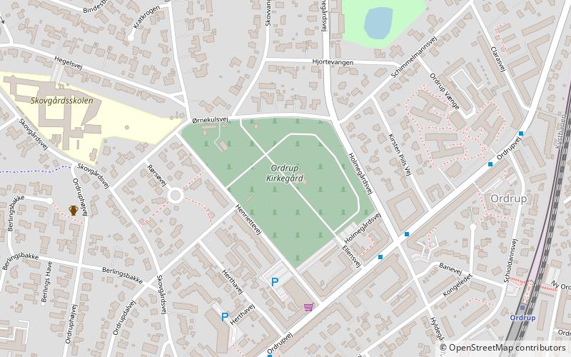
Nearby attractions include: Charlottenlund Racetrack, Ordrupgaard, Charlottenlund Palace, Ordrup Cemetery.
Frequently Asked Questions (FAQ)
Which popular attractions are close to Charlottenlund?
Nearby attractions include Charlottenlund Palace, Copenhagen (3 min walk), Forstbotanisk Have, Copenhagen (7 min walk), Charlottenlund Racetrack, Copenhagen (11 min walk), Charlottenlund Beach Park, Copenhagen (14 min walk).
How to get to Charlottenlund by public transport?
The nearest stations to Charlottenlund:
Light rail
Bus
Light rail
- Charlottenlund • Lines: C (7 min walk)
- Ordrup • Lines: C (22 min walk)
Bus
- Jægersborg Allé • Lines: 23 (10 min walk)
- Charlottenlund Fort • Lines: 23 (11 min walk)

 Metro
Metro


