Bernstorffsvej, Copenhagen
Map

Gallery

Facts and practical information
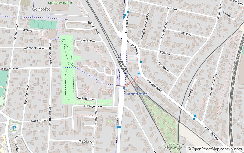
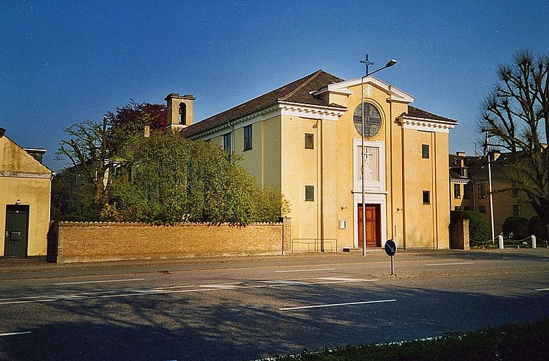
Bernstorffsvej is a major road in the Gentofte Municipality, located in the northern suburbs of Copenhagen, Denmark. It runs from Lyngby to a five-way roundabout on Jægersborg Allé in the north. The road passes several notable Danish buildings, including Gentofte Town Hall, Helleruplund Church, the Roman Catholic, St. Theresa's Church, Hellerup Cemetery and Bernstorff Park. ()
Coordinates: 55°44'36"N, 12°33'24"E
Address
Northern SuburbsCopenhagen
ContactAdd
Social media
Add
Day trips
Bernstorffsvej – popular in the area (distance from the attraction)
Nearby attractions include: Charlottenlund Racetrack, Waterfront Shopping, Gentofte Lake, Tuborg Havn.
Frequently Asked Questions (FAQ)
Which popular attractions are close to Bernstorffsvej?
Nearby attractions include Gentofte Town Hall, Copenhagen (11 min walk), Helleruplund Kirke, Copenhagen (13 min walk), Øregård Museum, Copenhagen (18 min walk), Bernstorffstøtten, Copenhagen (20 min walk).
How to get to Bernstorffsvej by public transport?
The nearest stations to Bernstorffsvej:
Light rail
Bus
Light rail
- Bernstorffsvej • Lines: A, E (2 min walk)
- Charlottenlund • Lines: C (22 min walk)
Bus
- Bernstorffsvej St. • Lines: 185 (3 min walk)
- Baunegårdsvej • Lines: 185 (8 min walk)

 Metro
Metro


