Langenæs, Aarhus

Gallery (2)
Map
Map
Gallery
Facts and practical information
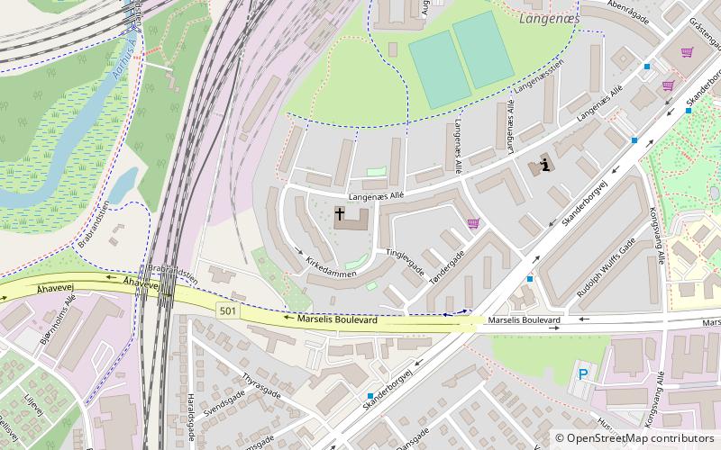
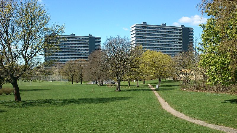
Langenæs is a small neighborhood in the city of Aarhus, Denmark with about 6,500 residents, as of 2014. The neighborhood is part of the district Midtbyen and borders the neighborhoods of Frederiksbjerg and Marselisborg to the East and the district of Viby to the South. Langenæs is delimited by the streets Søndre Ringgade, Skanderborgvej, Marselis Boulevard and the valley of Brabrand Ådal. ()
Local name: Langenæs SognCoordinates: 56°8'27"N, 10°10'44"E
Address
VibyAarhus
ContactAdd
Social media
Add
Getting there by public transportation
Public transportation stops near this location
- Bus
- Light rail
- Train
 Bus
Bus
- Calculate routeKongsvang/Skanderborgvej 5 min walk
- Calculate routeAarhus Universitetshospital P. P. Ørums Gade 8 min walk
- Calculate routeUffesvej 10 min walk
- Calculate routeKongsvang 11 min walk
- Calculate routeAarhus H 30 min walk
- Calculate routeAarhus Central Station 30 min walk
Day trips


Frequently Asked Questions (FAQ)
Which popular attractions are close to Langenæs?
Nearby attractions include Langenæs Church, Aarhus (1 min walk), Langenæs Park, Aarhus (6 min walk), St. Luke's Church, Aarhus (17 min walk), Ingerslevs Boulevard, Aarhus (18 min walk).
How to get to Langenæs by public transport?
The nearest stations to Langenæs:
Bus
Light rail
Train
Bus
- Kongsvang/Skanderborgvej • Lines: 1A, 200, 2A, 4A (5 min walk)
- Aarhus Universitetshospital P. P. Ørums Gade • Lines: 1A, 2A, 4A (8 min walk)
Light rail
- Kongsvang • Lines: L2 (11 min walk)
- Aarhus H • Lines: L2 (30 min walk)
Train
- Aarhus Central Station (30 min walk)