Blågårdsgade, Copenhagen

Gallery (3)
Map


Map
Gallery
Facts and practical information
Blågårdsgade is a mostly pedestrianized street in the Nørrebro district of Copenhagen, Denmark. It runs from Nørrebrogade in the northeast to Åboulevard in the southwest and passes the square Blågårds Plads. The street is known for its many shops and cafés. ()
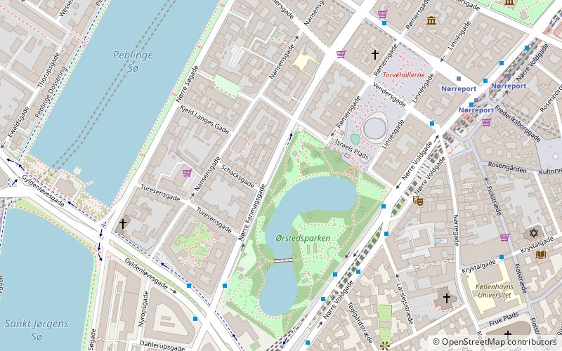
Coordinates: 55°41'10"N, 12°33'29"E
Getting there by public transportation
Public transportation stops near this location
- Metro
- Bus
- Light rail
- Train
- Ferry
 Metro
Metro
- Calculate routePrins Jørgens Gade 4 min walk
- Calculate routeRavnsborggade 5 min walk
- Calculate routeElmegade 5 min walk
- Calculate routeRantzausgade 6 min walk
- Calculate routeForum 10 min walk
- Calculate routeNørreport 14 min walk
- Calculate routeNørrebros Runddel 16 min walk
- Calculate routeNuuks Plads 16 min walk
- Calculate routeNørreport 15 min walk
- Calculate routeVesterport 19 min walk
- Calculate routeCopenhagen Central Station 26 min walk
- Calculate routeØsterport 32 min walk
- Calculate routeNørreport 16 min walk
- Calculate routeCopenhagen Central Station 26 min walk
- Calculate routeDet Kongelige Bibliotek 34 min walk
- Calculate routeKnippelsbro 36 min walk
Maps Metro
Metro
MetroDay trips


Frequently Asked Questions (FAQ)
Which popular attractions are close to Blågårdsgade?
Nearby attractions include Blågårds Plads, Copenhagen (1 min walk), Folkets Park, Copenhagen (4 min walk), Nørrebro, Copenhagen (5 min walk), Griffenfeldsgade, Copenhagen (5 min walk).
How to get to Blågårdsgade by public transport?
The nearest stations to Blågårdsgade:
Bus
Metro
Light rail
Train
Ferry
Bus
- Prins Jørgens Gade • Lines: 1A (4 min walk)
- Ravnsborggade • Lines: 5C (5 min walk)
Metro
- Forum • Lines: M1, M2 (10 min walk)
- Nørreport • Lines: M1, M2 (14 min walk)
Light rail
- Nørreport • Lines: A, B, Bx, C, E, H (15 min walk)
- Vesterport • Lines: A, B, Bx, C, E, H (19 min walk)
Train
- Nørreport (16 min walk)
- Copenhagen Central Station (26 min walk)
Ferry
- Det Kongelige Bibliotek • Lines: 991, 992 (34 min walk)
- Knippelsbro • Lines: 991, 992 (36 min walk)