Dronningegården, Copenhagen
Map
Gallery
Facts and practical information
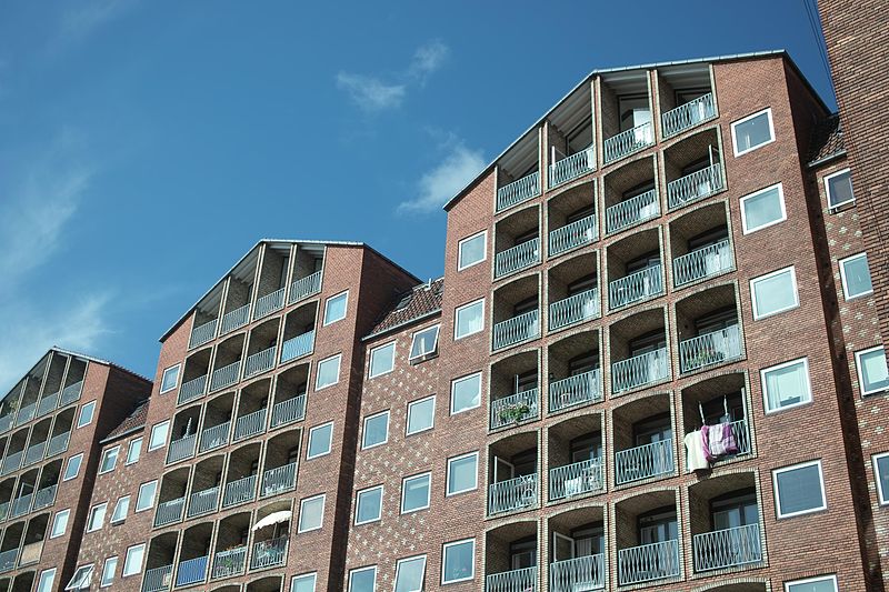
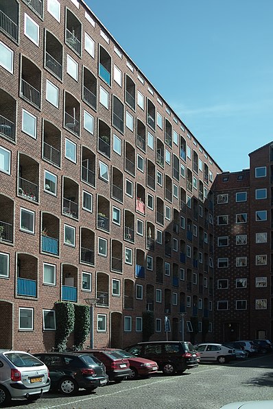
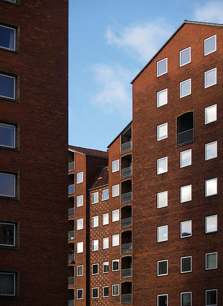
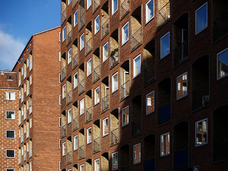
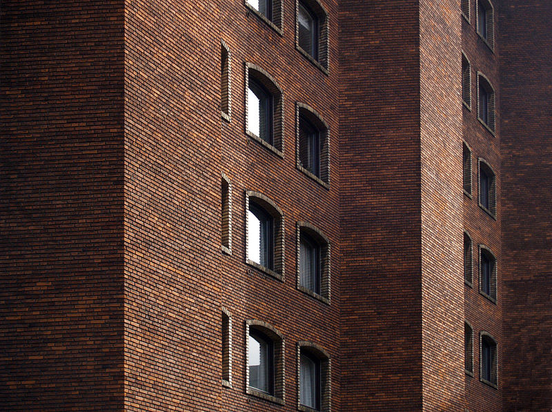
Dronningegården is a Modernist residential complex in central Copenhagen, Denmark, consisting of four L-shaped buildings defining an urban space around the intersection of Adelgade and Dronningens Tværgade. Designed by Kay Fisker in collaboration with C. F. Møller and Svenn Eske Kristensen, it was built between 1943 and 1958, during the transition from Traditionalism to Modernism, as a notable example of Nordic Functionalism. ()
Coordinates: 55°41'4"N, 12°35'3"E
Address
Indre By (Adelgades)Copenhagen
ContactAdd
Social media
Add
Day trips
Dronningegården – popular in the area (distance from the attraction)
Nearby attractions include: Strøget, Købmagergade, Jazzhus Montmartre, Karel van Mander House.
Frequently Asked Questions (FAQ)
Which popular attractions are close to Dronningegården?
Nearby attractions include Dronningens Tværgade 58, Copenhagen (2 min walk), Adelgade, Copenhagen (2 min walk), The David Collection, Copenhagen (2 min walk), Dronningens Tværgade, Copenhagen (2 min walk).
How to get to Dronningegården by public transport?
The nearest stations to Dronningegården:
Bus
Metro
Train
Light rail
Ferry
Bus
- Borgergade • Lines: 23 (3 min walk)
- Kronprinsessegade • Lines: 23 (3 min walk)
Metro
- Marmorkirken • Lines: M3, M4 (5 min walk)
- Kongens Nytorv • Lines: M1, M2, M3, M4 (9 min walk)
Train
- Nørreport (12 min walk)
- Østerport (16 min walk)
Light rail
- Nørreport • Lines: A, B, Bx, C, E, H (13 min walk)
- Østerport • Lines: A, B, Bx, C, E, H (15 min walk)
Ferry
- Nyhavn • Lines: 991, 992 (14 min walk)
- Operaen • Lines: 991, 992 (16 min walk)



 Metro
Metro


