Prinsesse Maries Allé, Copenhagen
Map
Facts and practical information
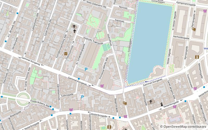
Prinsesse Maries Allé is a street in the Frederiksberg district of Copenhagen, Denmark, linking Gammel Kongevej in the south to Vodroffsvej in the north. ()
Coordinates: 55°40'30"N, 12°33'13"E
Address
FrederiksbergCopenhagen
ContactAdd
Social media
Add
Getting there by public transportation
Public transportation stops near this location
- Metro
- Bus
- Light rail
- Train
- Ferry
 Metro
Metro
- Calculate routeVesterbros Torv 5 min walk
- Calculate routeFrederiksberg Allé 5 min walk
- Calculate routeVærnedamsvej 6 min walk
- Calculate routeTrommesalen 8 min walk
- Calculate routeVesterport 10 min walk
- Calculate routeCopenhagen Central Station 12 min walk
- Calculate routeDybbølsbro 19 min walk
- Calculate routeNørreport 24 min walk
- Calculate routeCopenhagen Central Station 12 min walk
- Calculate routeForum 13 min walk
- Calculate routeFrederiksberg Allé 14 min walk
- Calculate routeRådhuspladsen 15 min walk
- Calculate routeCopenhagen Central Station 13 min walk
- Calculate routeHavneholmen 25 min walk
- Calculate routeNørreport 25 min walk
- Calculate routeDet Kongelige Bibliotek 28 min walk
- Calculate routeBryggebroen 28 min walk
Maps Metro
Metro
MetroDay trips


Frequently Asked Questions (FAQ)
Which popular attractions are close to Prinsesse Maries Allé?
Nearby attractions include Schønbergsgade, Copenhagen (3 min walk), Det Ny Teater, Copenhagen (4 min walk), Immanuel Church, Copenhagen (4 min walk), Forhåbningsholms Allé, Copenhagen (5 min walk).
How to get to Prinsesse Maries Allé by public transport?
The nearest stations to Prinsesse Maries Allé:
Bus
Light rail
Metro
Train
Ferry
Bus
- Vesterbros Torv • Lines: 7A (5 min walk)
- Frederiksberg Allé • Lines: 7A (5 min walk)
Light rail
- Vesterport • Lines: A, B, Bx, C, E, H (10 min walk)
- Copenhagen Central Station • Lines: A, B, Bx, C, E, H (12 min walk)
Metro
- Copenhagen Central Station • Lines: M3, M4 (12 min walk)
- Forum • Lines: M1, M2 (13 min walk)
Train
- Copenhagen Central Station (13 min walk)
- Havneholmen (25 min walk)
Ferry
- Det Kongelige Bibliotek • Lines: 991, 992 (28 min walk)
- Bryggebroen • Lines: 991, 992 (28 min walk)