Danasvej, Copenhagen
Map
Gallery
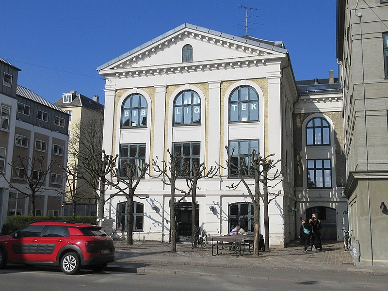
Facts and practical information
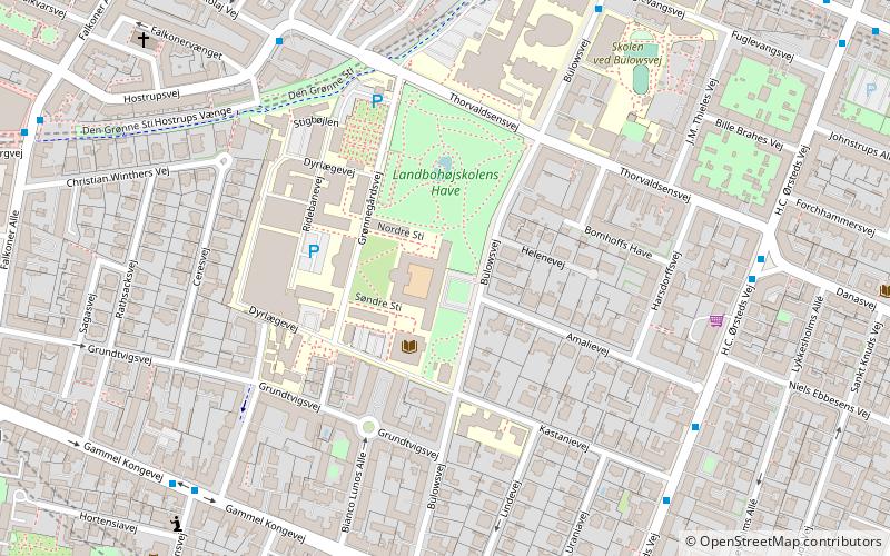
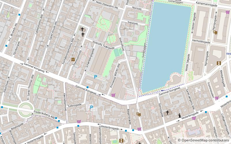
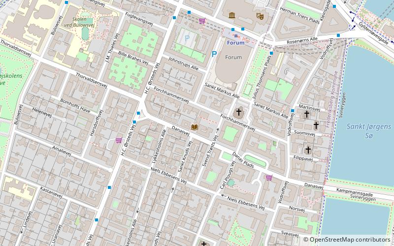
Danasvej is a street in the Frederiksberg district of Copenhagen, Denmark, linking the Kampmannsgade embankment across St. Jørgen's Lake in the east with H. C. Ørsteds Vej in the west. The central, section of the street, from Vodroffsvej to Svend Trøsts Vej, is called Danas Plads but the street and square are continuously numbered. The Danas Plads buildings, built in 1906–1909 to a National Romantic design by Ulrik Plesner and Thorvald Bindesbøll, surrounds a rectangular, public space with greenery and a playground. ()
Coordinates: 55°40'47"N, 12°33'3"E
Address
FrederiksbergCopenhagen
ContactAdd
Social media
Add
Day trips
Danasvej – popular in the area (distance from the attraction)
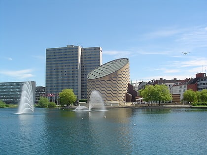
Nearby attractions include: Værnedamsvej, Søpavillonen, Tycho Brahe Planetarium, Det Ny Teater.
Frequently Asked Questions (FAQ)
Which popular attractions are close to Danasvej?
Nearby attractions include St. Mark's Church, Copenhagen (2 min walk), Forum Copenhagen, Copenhagen (3 min walk), H. C. Ørsteds Vej, Copenhagen (3 min walk), Niels Ebbesens Vej, Copenhagen (3 min walk).
How to get to Danasvej by public transport?
The nearest stations to Danasvej:
Bus
Metro
Light rail
Train
Ferry
Bus
- Thorvaldsensvej • Lines: 1A (3 min walk)
- Sankt Markus Alle • Lines: 71 (5 min walk)
Metro
- Forum • Lines: M1, M2 (5 min walk)
- Frederiksberg Allé • Lines: M3 (15 min walk)
Light rail
- Vesterport • Lines: A, B, Bx, C, E, H (14 min walk)
- Copenhagen Central Station • Lines: A, B, Bx, C, E, H (19 min walk)
Train
- Copenhagen Central Station (20 min walk)
- Nørreport (23 min walk)
Ferry
- Det Kongelige Bibliotek • Lines: 991, 992 (33 min walk)

 Metro
Metro

