Gasværksvej, Copenhagen
Map

Gallery

Facts and practical information
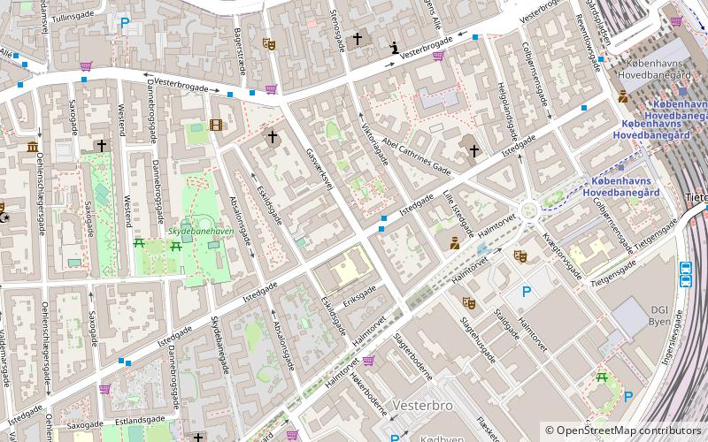
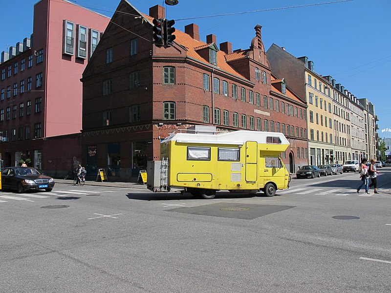
Gasværksvej is a street in the Vesterbro district of Copenhagen, Denmark. It runs from Vesterbros Torv in the north to Halmtorvet in the south. ()
Coordinates: 55°40'14"N, 12°33'27"E
Address
Vesterbro - Kongens Enghave (Svends)Copenhagen
ContactAdd
Social media
Add
Day trips
Gasværksvej – popular in the area (distance from the attraction)
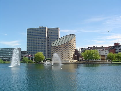
Nearby attractions include: Værnedamsvej, DGI-byen, Tycho Brahe Planetarium, Museum of Copenhagen.
Frequently Asked Questions (FAQ)
Which popular attractions are close to Gasværksvej?
Nearby attractions include Viktoriagade, Copenhagen (2 min walk), Istedgade, Copenhagen (3 min walk), Absalonsgade, Copenhagen (3 min walk), Eliaskirken, Copenhagen (3 min walk).
How to get to Gasværksvej by public transport?
The nearest stations to Gasværksvej:
Bus
Metro
Light rail
Train
Ferry
Bus
- Gasværksvej • Lines: 23 (1 min walk)
- Vesterbros Torv • Lines: 7A (5 min walk)
Metro
- Copenhagen Central Station • Lines: M3, M4 (7 min walk)
- Enghave Plads • Lines: M3 (13 min walk)
Light rail
- Copenhagen Central Station • Lines: A, B, Bx, C, E, H (8 min walk)
- Dybbølsbro • Lines: A, B, Bx, C, E, H (10 min walk)
Train
- Copenhagen Central Station (9 min walk)
- Havneholmen (17 min walk)
Ferry
- Bryggebroen • Lines: 991, 992 (20 min walk)
- Det Kongelige Bibliotek • Lines: 991, 992 (24 min walk)

 Metro
Metro


