Institute for the Blind, Copenhagen
Map

Gallery

Facts and practical information
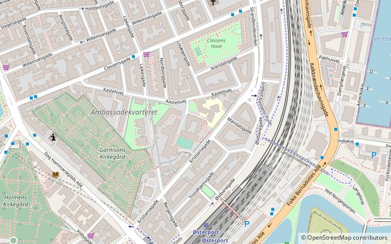
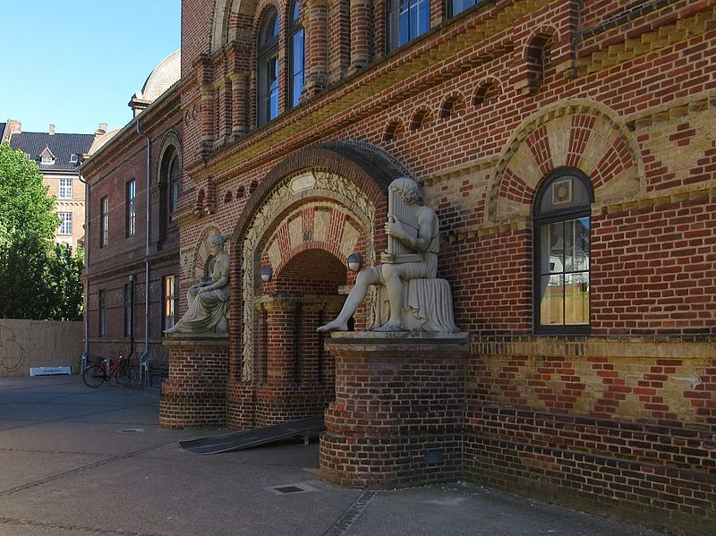
The Institute for the Blind is a listed, Historicist building on Kastelsvej in the Østerbro district of Copenhagen, Denmark. Built in two stages in 1858 and 1880 to a design by Ferdinand Meldahl, it was the first special school for blind students in Denmark and was listed in 1977. The institution relocated to new premises in Hellerup in the 1960s and is now known as the Danish Institute for the Blind and Partially Sighted. The Østerbro building is now home to Copenhagen Municipality's Children's Centre. ()
Coordinates: 55°41'45"N, 12°35'16"E
Address
Østerbros (Mandals)Copenhagen
ContactAdd
Social media
Add
Day trips
Institute for the Blind – popular in the area (distance from the attraction)
Nearby attractions include: Kastelskirken, Hirschsprung Collection, Kastellet, Maritime Monument.
Frequently Asked Questions (FAQ)
Which popular attractions are close to Institute for the Blind?
Nearby attractions include Kastelsvej, Copenhagen (2 min walk), Kristianiagade, Copenhagen (2 min walk), Glacisgården, Copenhagen (3 min walk), Østbanegade, Copenhagen (4 min walk).
How to get to Institute for the Blind by public transport?
The nearest stations to Institute for the Blind:
Bus
Train
Metro
Light rail
Ferry
Bus
- Lipkesgade • Lines: 23 (4 min walk)
- Strandboulevarden • Lines: 23 (6 min walk)
Train
- Østerport (5 min walk)
- Nørreport (26 min walk)
Metro
- Østerport • Lines: M3, M4 (6 min walk)
- Trianglen • Lines: M3 (14 min walk)
Light rail
- Østerport • Lines: A, B, Bx, C, E, H (6 min walk)
- Nordhavn • Lines: A, B, Bx, C, E (17 min walk)
Ferry
- Nordre Toldbod • Lines: 991, 992 (18 min walk)
- Refshaleøen • Lines: 991, 992 (21 min walk)

 Metro
Metro


