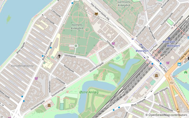
Hjalmar Brantings Plads, Copenhagen
Map

Map

Facts and practical information
Hjalmar Brantings Plads is a square between Stockholmsgade and Oluf Palmes Gade in central Copenhagen, Denmark. It is named for the Nobel Peace Prize-winning former Swedish prime minister Hjalmar Branting. ()
Coordinates: 55°41'32"N, 12°34'54"E
Address
Østerbros (Børnehospitalets)Copenhagen
ContactAdd
Social media
Add
Day trips
Hjalmar Brantings Plads – popular in the area (distance from the attraction)
Nearby attractions include: Hirschsprung Collection, Østre Anlæg, The David Collection, Memorial to Nordic Volunteers and Fallen.
Frequently Asked Questions (FAQ)
Which popular attractions are close to Hjalmar Brantings Plads?
Nearby attractions include Stockholmsgade, Copenhagen (2 min walk), Holmen Cemetery, Copenhagen (3 min walk), Esajas Kirke, Copenhagen (4 min walk), Østre Anlæg, Copenhagen (4 min walk).
How to get to Hjalmar Brantings Plads by public transport?
The nearest stations to Hjalmar Brantings Plads:
Bus
Metro
Light rail
Train
Ferry
Bus
- Øster Farimagsgade Skole • Lines: 14 (5 min walk)
- Suensonsgade • Lines: 23 (5 min walk)
Metro
- Østerport • Lines: M3, M4 (5 min walk)
- Trianglen • Lines: M3 (14 min walk)
Light rail
- Østerport • Lines: A, B, Bx, C, E, H (6 min walk)
- Nørreport • Lines: A, B, Bx, C, E, H (19 min walk)
Train
- Østerport (8 min walk)
- Nørreport (18 min walk)
Ferry
- Nordre Toldbod • Lines: 991, 992 (20 min walk)
- Refshaleøen • Lines: 991, 992 (26 min walk)

 Metro
Metro


