Indre Nørrebro, Copenhagen

Gallery (1)
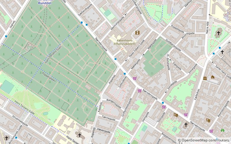
Map
Map
Facts and practical information
Indre Nørrebro, is one of the 15 administrative, statistical, and tax city districts comprising the municipality of Copenhagen, Denmark. It covers an area of 1.72 km², has a population of 31,046 and a population density of 18,057 per km², making it the second most densely populated district in Copenhagen. ()
Address
Nørrebro (Helligkors)Copenhagen
ContactAdd
Social media
Add
Getting there by public transportation
Public transportation stops near this location
- Metro
- Bus
- Light rail
- Train
 Metro
Metro
- Calculate routeKapelvej 1 min walk
- Calculate routeSjællandsgade 5 min walk
- Calculate routeElmegade 5 min walk
- Calculate routePrins Jørgens Gade 6 min walk
- Calculate routeNørrebros Runddel 8 min walk
- Calculate routeNuuks Plads 13 min walk
- Calculate routeForum 16 min walk
- Calculate routeNørreport 21 min walk
- Calculate routeNørreport 22 min walk
- Calculate routeVesterport 27 min walk
- Calculate routeBispebjerg 31 min walk
- Calculate routeNørreport 22 min walk
Maps Metro
Metro
MetroDay trips


Frequently Asked Questions (FAQ)
Which popular attractions are close to Indre Nørrebro?
Nearby attractions include Jewish Northern Cemetery, Copenhagen (4 min walk), Meinungsgade, Copenhagen (4 min walk), Kapelvej, Copenhagen (4 min walk), Assistens Cemetery, Copenhagen (5 min walk).
How to get to Indre Nørrebro by public transport?
The nearest stations to Indre Nørrebro:
Bus
Metro
Light rail
Train
Bus
- Kapelvej • Lines: 5C (1 min walk)
- Sjællandsgade • Lines: 5C (5 min walk)
Metro
- Nørrebros Runddel • Lines: M3 (8 min walk)
- Nuuks Plads • Lines: M3 (13 min walk)
Light rail
- Nørreport • Lines: A, B, Bx, C, E, H (22 min walk)
- Vesterport • Lines: A, B, Bx, C, E, H (27 min walk)
Train
- Nørreport (22 min walk)