Dronningens Tværgade 58, Copenhagen
Map

Map

Facts and practical information
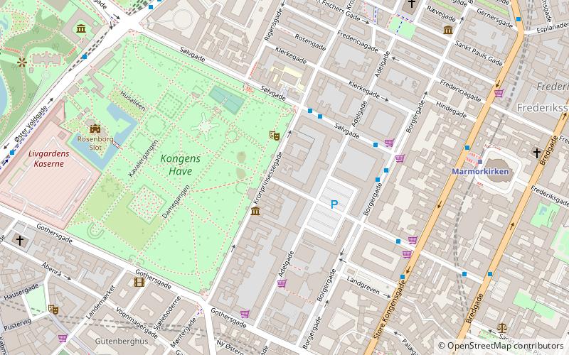
Dronningens Tværgade 58 is a Neoclassical property situated close to Rosenborg Castle Garden in central Copenhagen, Denmark. It was built in 1807–08 by Blonms Enke & Sønnder —an equal partnership between a widow and her four mason sons—as the last of their nine buildings constructed with a rate of approximately one building per year. It was listed on the Danish registry of protected buildings and places in 1950. ()
Coordinates: 55°41'5"N, 12°34'59"E
Address
Indre By (Kongens Haves)Copenhagen
ContactAdd
Social media
Add
Day trips
Dronningens Tværgade 58 – popular in the area (distance from the attraction)
Nearby attractions include: Strøget, Købmagergade, Jazzhus Montmartre, King's Garden.
Frequently Asked Questions (FAQ)
Which popular attractions are close to Dronningens Tværgade 58?
Nearby attractions include Dronningegården, Copenhagen (2 min walk), The David Collection, Copenhagen (2 min walk), Adelgade, Copenhagen (2 min walk), Kronprinsessegade 18, Copenhagen (3 min walk).
How to get to Dronningens Tværgade 58 by public transport?
The nearest stations to Dronningens Tværgade 58:
Bus
Metro
Train
Light rail
Ferry
Bus
- Kronprinsessegade • Lines: 23 (3 min walk)
- Borgergade • Lines: 23 (3 min walk)
Metro
- Marmorkirken • Lines: M3, M4 (6 min walk)
- Kongens Nytorv • Lines: M1, M2, M3, M4 (10 min walk)
Train
- Nørreport (11 min walk)
- Østerport (16 min walk)
Light rail
- Nørreport • Lines: A, B, Bx, C, E, H (12 min walk)
- Østerport • Lines: A, B, Bx, C, E, H (15 min walk)
Ferry
- Nyhavn • Lines: 991, 992 (15 min walk)
- Operaen • Lines: 991, 992 (17 min walk)

 Metro
Metro


