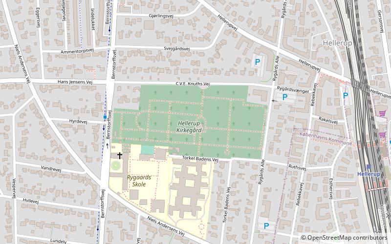
Hellerup Cemetery, Copenhagen
Map

Map

Facts and practical information
Hellerup Cemetery is a cemetery in Hellerup in the northern suburbs of Copenhagen, Denmark. It is located on Bernstorffsvej and was inaugurated on 4 February 1912. The cemetery serves Gentofte Municipality and the northnmost part of Copenhagen Municipality. ()
Local name: Hellerup KirkegårdEstablished: 1912 (114 years ago)Area: 17.05 acres (0.0266 mi²)Coordinates: 55°43'54"N, 12°33'33"E
Address
Northern Suburbs (Hellerup)Copenhagen
ContactAdd
Social media
Add
Day trips
Hellerup Cemetery – popular in the area (distance from the attraction)
Nearby attractions include: Grundtvigs Kirke, Waterfront Shopping, Gentofte Lake, Tuborg Havn.
Frequently Asked Questions (FAQ)
Which popular attractions are close to Hellerup Cemetery?
Nearby attractions include St. Theresa's Church, Copenhagen (4 min walk), Hellerup, Copenhagen (8 min walk), Helleruplund Kirke, Copenhagen (10 min walk), Mindelunden, Copenhagen (12 min walk).
How to get to Hellerup Cemetery by public transport?
The nearest stations to Hellerup Cemetery:
Bus
Light rail
Bus
- Rygårds Allé • Lines: 21 (7 min walk)
- Sankt Lukas Stiftelsen • Lines: 21 (8 min walk)
Light rail
- Hellerup • Lines: A, C, E, F (8 min walk)
- Bernstorffsvej • Lines: A, E (20 min walk)

 Metro
Metro


