Løvstræde 14, Copenhagen
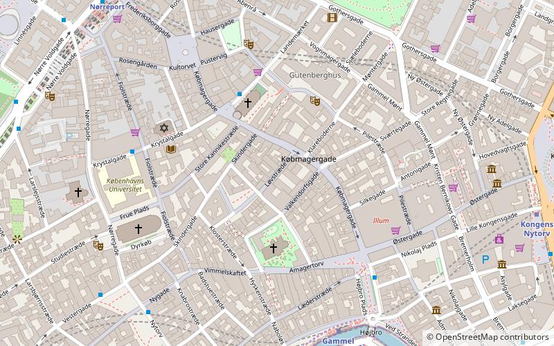
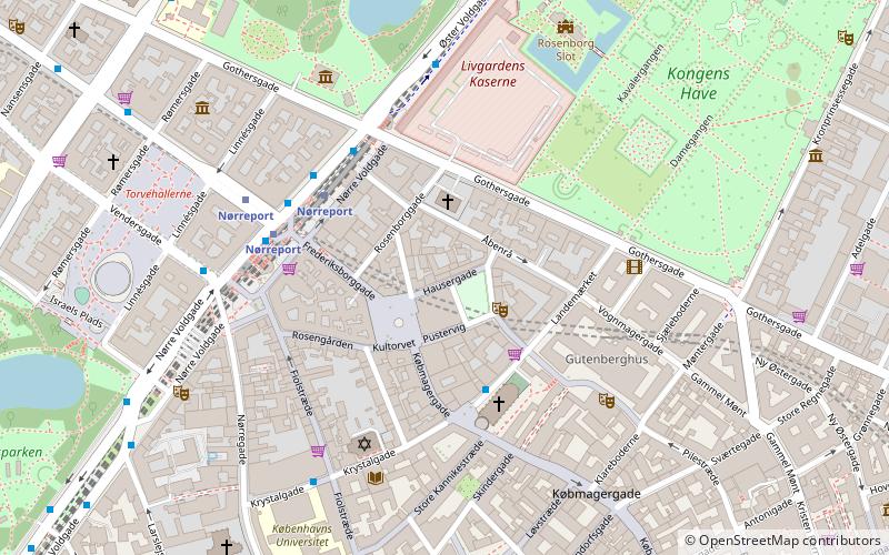
Map

Gallery

Facts and practical information
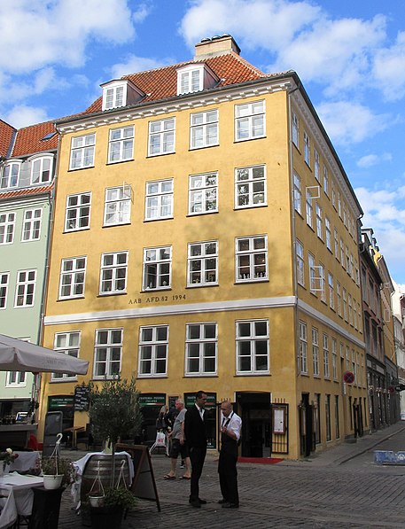
Løvstræde 14 is a Neoclassical property situated at the corner of Gråbrødretorv and Løvstræde in the Old Town of Copenhagen, Denmark. It originates in a three-storey corner building from around 1730 but owes its current appearance to an 1832 renovation and extension along Løvstræde. The entire complex was listed in the Danish registry of protected buildings and places in 1950. ()
Coordinates: 55°40'49"N, 12°34'37"E
Address
Indre By (Strøget)Copenhagen
ContactAdd
Social media
Add
Day trips
Løvstræde 14 – popular in the area (distance from the attraction)
Nearby attractions include: Strøget, Købmagergade, Jazzhus Montmartre, Karel van Mander House.
Frequently Asked Questions (FAQ)
Which popular attractions are close to Løvstræde 14?
Nearby attractions include Post & Tele Museum, Copenhagen (1 min walk), Niels Hemmingsens Gade, Copenhagen (1 min walk), Skindergade, Copenhagen (2 min walk), Valkendorfsgade, Copenhagen (2 min walk).
How to get to Løvstræde 14 by public transport?
The nearest stations to Løvstræde 14:
Metro
Bus
Train
Light rail
Ferry
Metro
- Gammel Strand • Lines: M3, M4 (6 min walk)
- Kongens Nytorv • Lines: M1, M2, M3, M4 (9 min walk)
Bus
- Gammel Strand St., Christiansborg • Lines: 23, 2A (7 min walk)
- Nørreport Station • Lines: 5C (8 min walk)
Train
- Nørreport (8 min walk)
- Copenhagen Central Station (19 min walk)
Light rail
- Nørreport • Lines: A, B, Bx, C, E, H (8 min walk)
- Vesterport • Lines: A, B, Bx, C, E, H (17 min walk)
Ferry
- Knippelsbro • Lines: 991, 992 (15 min walk)
- Det Kongelige Bibliotek • Lines: 991, 992 (15 min walk)

 Metro
Metro


