Jægersborg Barracks, Skodsborg
Map

Map

Facts and practical information
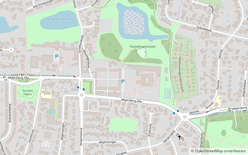
Jægersborg Barracks, also known as Jægergården, is a former military facility located on Jægersborg Allé in Gentofte in the northern suburbs of Copenhagen, Denmark. It was converted into housing in 2010. ()
Coordinates: 55°45'45"N, 12°32'22"E
Address
Northern Suburbs (Charlottenlund)Skodsborg
ContactAdd
Social media
Add
Day trips
Jægersborg Barracks – popular in the area (distance from the attraction)
Nearby attractions include: Garderhøjfortet, Klampenborg Racecourse, Ordrupgaard, Gentofte Lake.
Frequently Asked Questions (FAQ)
Which popular attractions are close to Jægersborg Barracks?
Nearby attractions include Jægersborg Allé, Skodsborg (10 min walk), Ermelunden, Skodsborg (14 min walk), Garderhøjfortet, Copenhagen (14 min walk), Jægersborg Water Tower, Copenhagen (18 min walk).
How to get to Jægersborg Barracks by public transport?
The nearest stations to Jægersborg Barracks:
Light rail
Bus
Light rail
- Gentofte • Lines: A, E (16 min walk)
- Jægersborg • Lines: 910, A, E (18 min walk)
Bus
- Ermelundsvej • Lines: 388 (20 min walk)
- Hjortekærsvej • Lines: 388 (21 min walk)


