Sømosen, Copenhagen

Map
Facts and practical information
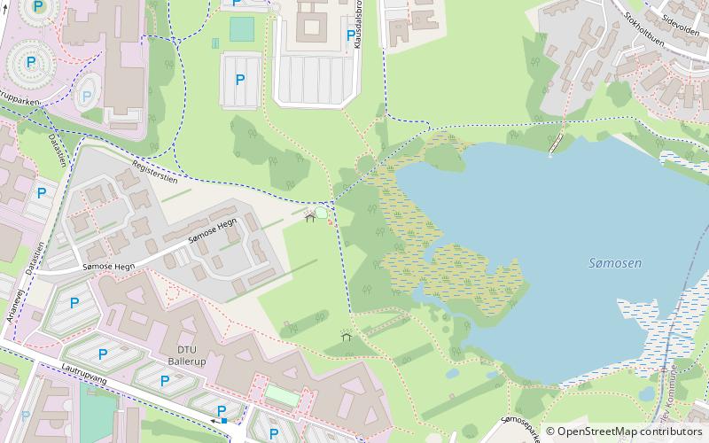
Sømosen is a bog straddling the border between Ballerup and Herlev municipalities in the northwestern suburbs of Copenhagen, Denmark. It formed some time between 8,000 and 13,000 BC. The water from the bog drains into Harrestrup Å to the south through Sømose Å. It was protected in 1951. The protected area was increased from 20 to 23 hectares in 2006. ()
Elevation: 79 ft a.s.l.Coordinates: 55°44'0"N, 12°24'0"E
Address
Northern SuburbsCopenhagen
ContactAdd
Social media
Add
Day trips
Sømosen – popular in the area (distance from the attraction)
Nearby attractions include: Sophienholm, Bagsværd Church, Aldershvile Slotspark, Lake Bagsværd.
Frequently Asked Questions (FAQ)
How to get to Sømosen by public transport?
The nearest stations to Sømosen:
Light rail
Light rail
- Skovlunde • Lines: C (19 min walk)
- Malmparken • Lines: C, H (21 min walk)
 Metro
Metro


